
Advanced Mapping Resources
If you are a serious Drone Mapper looking for some advanced training on providing stand out deliverables to clients then this is your playground. This course will cover everything from fixing floating ground control points, cleaning up point clouds, delivering sketchfab models and .shp files & much more.

Shooting & Mapping Construction Sites
The construction industry is the largest employer of drone services. From pre-construction to project closeout, drone uses can help save time and cost across the entire construction life cycle. In this exhaustive course, we discuss some BEST practices which can help YOU fly a construction mission safely and accurately. What is the #1 focus on a construction site? You will also learn about hardware and software requirements, GCP's and client deliverables. Watch this to get started in the construction industry.
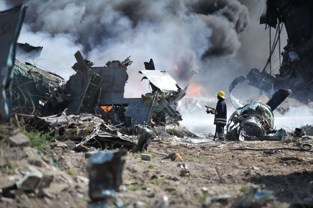
Integrating Drones into Rail, Highway, and Aircraft Accident Investigations
Any crash or derailment that occurs needs to be investigated thoroughly and accurately. By using drones, it is possible to conduct an accident investigation faster, cheaper, and more effectively. According to the NTSB (National Transportation...
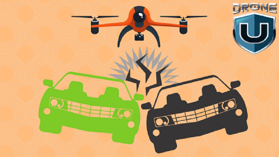
How 3D Mapping Is Redefining Accident Reconstruction
In this blog post, I have a look at field of accident reconstruction. What are the various parameters that accident scientists look at? What is the science behind accident reconstruction? We also discuss if data produced by drones is comparable to that...
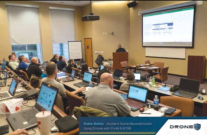
Drone U's Accident Mapping Class with Pix4D and NTSB
Accident Scene Reconstruction using drone mapping adds another level of sophistication to an already complex and incredibly nuanced field. When legal decisions are being made based off your drone data, there is no room for any errors. We, at Drone U...


 Explore more on Drone U
