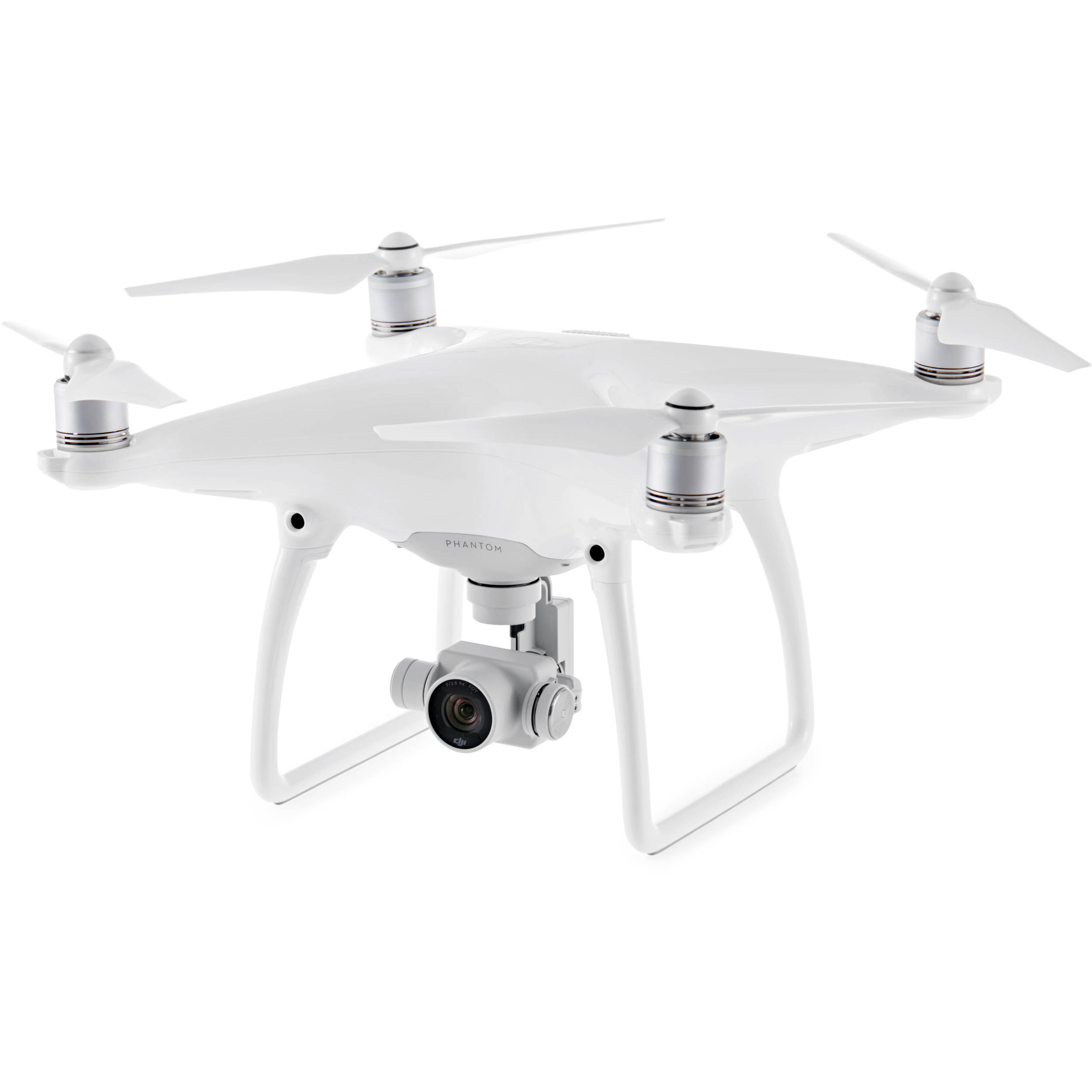
Drone Mapping with Phantom 4 Pro
Today, we discuss mapping with the Phantom 4 Pro. What is the best workflow for capturing accurate, survey-grade mapping data?
Johnny called in from St Louis to ask about setting his P4P up with the appropriate mapping equipment. Because he wants to start mapping for golf courses and real estate, Johnny wants to make sure he’s got the right tools.
In the past, we’ve talked about the high costs of mapping apps for drones. However, there are solutions available for the Phantom 4 Pro. Additionally, the Yuneec H520 offers a great alternative for those pilots trying to get into the field.
We talk about battery life, payloads and flexibility when it comes to buying the right mapping equipment. Furthermore, we discuss the intricacies of the mapping process and why having the best mapping equipment is so important.
Thanks for the question Johnny! Fly safe!
Are you interested in making money mapping with your drone? Stay tuned for our Intermediate/Advanced Mapping Course!
Make sure to get yourself a Drone U landing pad!
Also, make sure to head over to Videoblocks.com. A subscription gives you full-access to all of the royalty-free music you need to make killer drone videos! Use the promo code “droneu8” to receive a special discount!
Get your questions answered: https://thedroneu.com/.
If you enjoy the show, the #1 thing you can do to help us out is subscribe to it on iTunes. Can we ask you to do that for us really quick? While you’re there, leave us a 5-star review, if you’re inclined to do so. Thanks! https://itunes.apple.com/us/podcast/ask-drone-u/id967352832.
Follow Us
Site – https://thedroneu.com/
Facebook – https://www.facebook.com/droneu
Instagram – https://instagram.com/thedroneu/
Twitter – https://twitter.com/thedroneu
YouTube – https://www.youtube.com/c/droneu
Get your copy of “Livin’ the Drone Life” – //amzn.to/2nalUDH
Get your copy of our Part 107 Study Guide – //amzn.to/2omQatT
Timestamps
- [03:24] Today we talk about equipping a Phantom 4 Pro for mapping
- [05:26] Are the Phantom 4 Pro and Yuneec H520 suitable for mapping golf courses?
- [06:07] What is the payload that you should be using for Phantom 4 Pro?
- [06:22] We talk about the importance of weather while mapping
- [06:45] Is it okay to shoot in RAW and convert to JPEG?
- [08:26] Is it possible to shoot with great accuracy with a Phantom 4 Pro? What are some of the factors that affect accuracy?
- [09:13] What is the issue with using drones for crime scene mapping? Is the data accuracy maintained?
- [13:22] We talk about how weather complexities can affect mapping data
- [14:26] Can you use LIDAR for your mapping missions?
- [15:11] Paul sums up today’s episode
- [15:50] Can you use SiteScan to get better details for your mapping data?


 Explore more on Drone U