Have you ever imagined capturing the world from above with remarkable precision and detail? Drone 3D modeling makes this a reality, converting stunning aerial views into intricate, explorable 3D models.
With advanced photogrammetry software, you can stitch aerial data into an accurate 3D representation, allowing you to explore everything from vast landscapes to hard-to-reach areas.
Drone Modeling technology is revolutionizing industries like construction, urban planning, and agriculture by making data collection faster, safer, and more accurate. But creating high-quality 3D models that are detailed from every angle isn’t just about having a good drone—there’s more to the process.
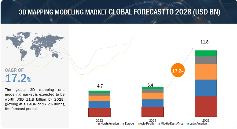
According to Markets and Markets, the 3D Mapping and Modeling Market is projected to grow from USD 5.4 billion in 2023 to USD 11.8 billion by 2028, at a CAGR of 17.2%.
 Credit: Markets and Markets
This guide explores the intricacies of drone modeling, covering everything from basic 3D modeling concepts to advanced 3D mapping and modeling techniques. We’ll cover everything about drone 3D modeling, from understanding what a drone 3D model is to choosing the best drone for 3D mapping and learning how to create a model from drone images.
Let’s get started!
What are Drone Modeling and 3D Mapping?
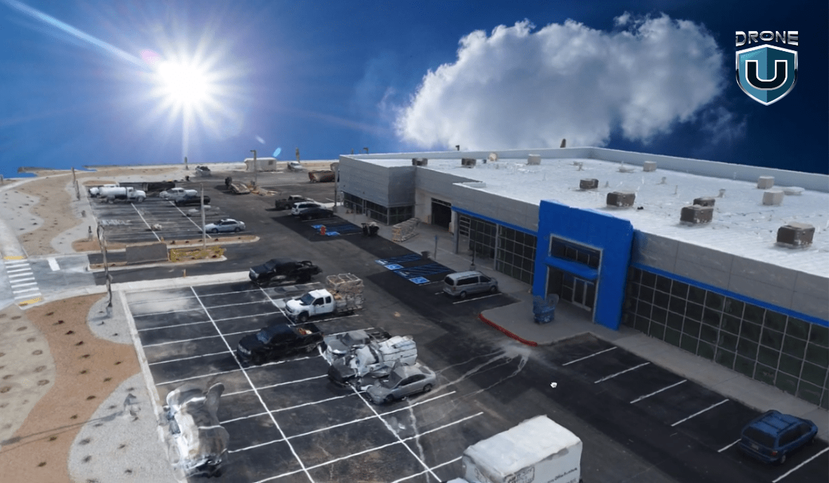
Drone Modelling is using a drone to capture data and imagery of an object or area. The common ways to capture the data include:
| Photogrammetry | LiDAR (Light Detection and Ranging) |
| This involves taking lots of pictures of the same thing from different angles. These pictures are then put together to create detailed models. These models can be used for many things like mapping, surveying, monitoring, analysis, and visualization. | This method uses lasers to measure the distance between objects. The drone equipped with LiDAR flies over the area, and the laser pulses bounce off the ground and objects, creating a highly accurate 3D point cloud that can be used to generate a 3D model. |
Drone Modeling helps us measure land accurately, plan where to build things, and respond quickly to emergencies like disasters.
Now that we know what drone modeling is, let’s learn why it’s important.
Significance of 3D Drone Modeling
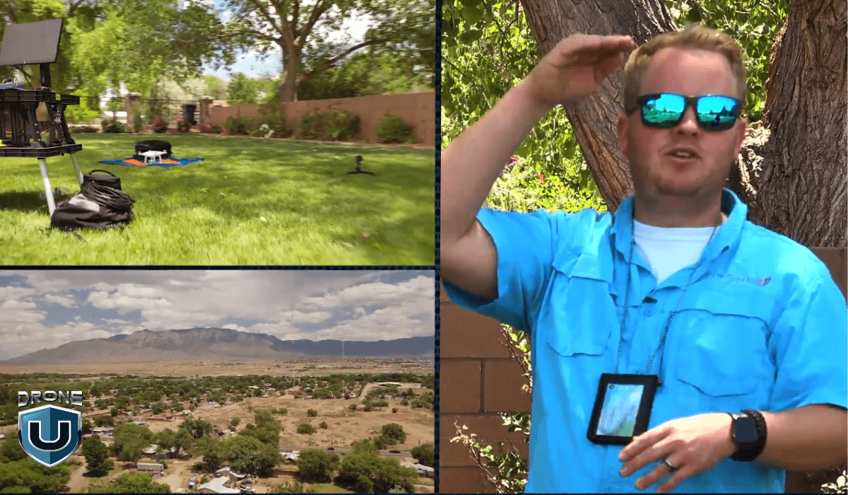
3D modeling with drones has revolutionized how we capture and analyze spatial data. It has resulted in a more efficient, safe, and informed decision-making process. Here’s why drone modeling matters:
1. Enhanced Precision and Detail
Drones are like having a super-powered camera that can fly. With drones, you can capture crystal-clear pictures and turn them into cool 3D models, giving you a super detailed view of anything from buildings and landscapes to even small objects.
And the best part? These 3D models are super accurate, down to the centimeter.
This level of precision is a game-changer for things like construction, engineering, and land surveying, where every tiny detail can make a big difference.
2. Cost Efficiency
With drones, you can cover vast areas in a flash, significantly reducing the time and manpower needed for data collection. This translates to substantial cost savings for your projects.
3. Accessibility and Safety
Drones go where humans can’t: steep terrains, disaster zones, hazardous environments. They can capture information and create models from these difficult-to-reach areas. This eliminates the risk of exposing yourself or your team to potential dangers, making drone modeling a valuable tool for enhancing safety on the job.
4. Time Efficiency
With drones, you can cover vast areas in a fraction of the time, drastically improving turnaround times for project planning and execution. This translates to faster completion and increased efficiency, allowing you to get things done quicker.
5. Comprehensive Data Analysis
Drones are a game-changer for data collection. They allow you to gather a massive amount of information in a fraction of the time compared to traditional methods. You can use the collected drone data for volume calculations, change detection over time, and environmental monitoring.
6. Innovative Applications
Drones aren’t just data collection powerhouses, they’re also bringing the world to life in immersive experiences through VR and AR applications.
You can explore historical sites in virtual reality or train on complex procedures with augmented reality overlays.
Speaking of history, drones are also helping preserve the past by creating detailed models of historical sites and artifacts. This allows for digital archiving and study, ensuring these treasures are accessible to future generations.
After significance, let’s explore how drone modeling works.
How 3D Drone Modeling Works
The process of drone modeling involves several distinct steps, ranging from planning the drone flight to processing the captured images.
Here’s a step-by-step breakdown of how drone modeling works:
Step 1: Project Planning and Preparation
Start by identifying the goals of your drone modeling project, specifying the area to be mapped or the level of detail you require. Then, choose the types of equipment and sensor(s) that best suit your project. This might include high-resolution cameras, LiDAR, or multispectral sensors, depending on the data you need.
Step 2: Data Acquisition
The next step is to gather multiple images following your data collection strategy. Equip the drone with a high-resolution camera that suits your needs. Make sure the camera is calibrated correctly and set to capture images regularly.
Alternatively, manually control the capture process to ensure proper overlap. Remember to capture a series of overlapping images or sensor readings from different angles.
Step 3: Data Processing
Import your collected images into the software of your choice. Choose photogrammetry software that can process your images into a 3D model. This software identifies common points between overlapping images during processing. Popular options for this include Pix4D, Agisoft Metashape, and DroneDeploy.
However, can you use a Macbook for 3D Drone Modeling? Check out this video to find the answer:
If you use LiDAR sensors on your drone, the drone emits laser pulses toward the ground, measuring the time it takes for each pulse to return. Then, this data is used to create highly accurate digital surface models (DSMs) or digital terrain models (DTMs).
Step 4: Model Refinement
Once the raw data undergoes processing in specialized software, it stitches together the collected data points to form a detailed 3D model. You can then utilize software tools to eliminate any anomalies, unnecessary objects, or errors from the model, ensuring it accurately represents the target area.
Further refinement of the model involves additional processing to add textures, colors, and other details, enhancing its realism and usefulness.
Step 5: Analysis and Application
The software will then analyze the images for common points and align them to start constructing the 3D model. Once the 3D model is finalized, you can perform various analyses based on your project goals. This model can be integrated into GIS systems, shared with stakeholders, or utilized in simulations.
To understand drone modeling fully, let’s explore both its benefits and drawbacks.
Advantages & Disadvantages of Drone Modeling
|
Advantages |
Disadvantages |
| More cost-effective compared to traditional methods. | Limited payload capacity, restricting the types and number of sensors that can be carried. |
| Large areas can be covered quickly, allowing for rapid data collection and analysis. | Operations are weather-dependent, and adverse weather conditions such as strong winds, rain, or fog can impede flights. |
| Access remote or hazardous areas that are difficult or dangerous for humans to reach. | Drone modeling requires technical expertise in drone piloting, data processing, and software operation. |
| Capability to collect and process data in real-time. | Susceptible to hacking and cybersecurity threats, posing risks to data integrity and security. |
Let’s delve into the usage of drone modeling across different industries.
Applications of Drone Modeling
3D modeling and mapping have found applications across various industries, from construction to agriculture. Its versatility and efficiency render it invaluable for professionals aiming to analyze data.
With drone modeling, you can monitor and plan projects with a level of accuracy that was previously challenging or costly to attain.
Here are some key applications of drone modeling.
1. Construction and Infrastructure Development
Drone modeling assists in planning construction projects by providing accurate land surveys. It also retrieves topographic data to ensure efficiency. Drones are also used to monitor the project progress and track resources, helping manage assets on-site and keep projects on schedule.
Moreover, drones can inspect structures for wear, tear, or damage, allowing you to conduct regular maintenance checks for bridges, roads, and buildings. This streamlined process eliminates the need for scaffolding or human climbers, making inspections easier and safer for you.
2. Agriculture and Forestry
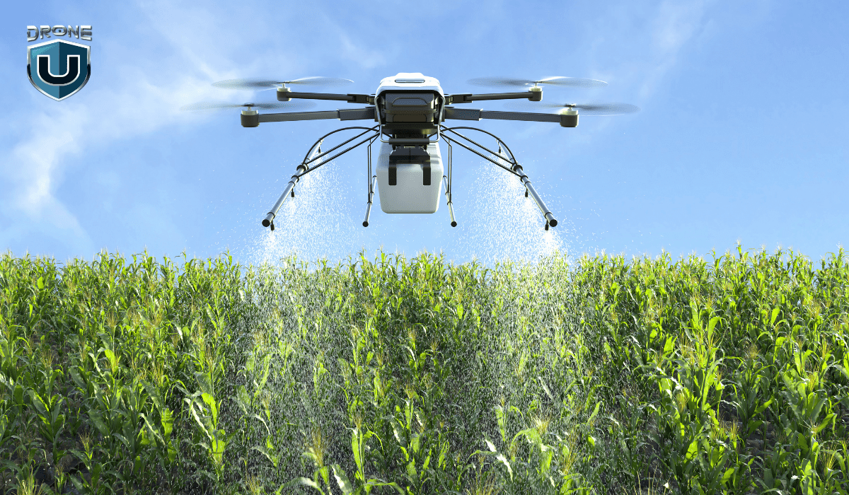
Drones provide you with detailed models of farmland, helping you understand crop health. By identifying variations in the field, you can track growth and optimize water usage and fertilization.
Drones also play a crucial role in safeguarding the forests by collecting data to assess tree health and monitor deforestation rates. This information helps in implementing conservation practices and ensuring sustainable management of forest resources.
3. Environmental Monitoring and Conservation
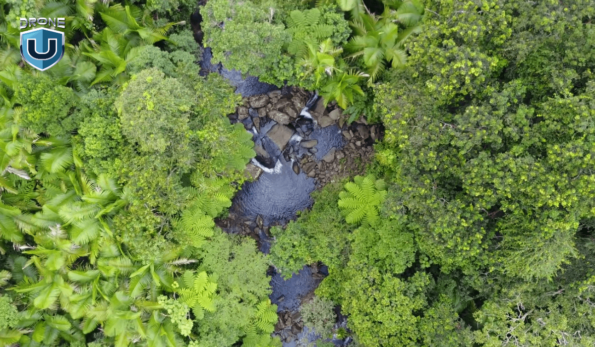
3D models created through drones provide a non-intrusive way to study ecosystems, helping researchers track changes in vegetation, wildlife habitats, and water bodies. Drones act as friendly flying spies for nature, enabling researchers to monitor plant health, animal behavior, and changes in rivers and lakes.
It’s an excellent method to observe nature and understand how it changes over time.
Additionally, drones rapidly map affected areas during natural disasters such as floods, wildfires, or hurricanes. This helps in damage assessment, planning relief efforts, and rebuilding strategies.
4. Urban Planning and Real Estate
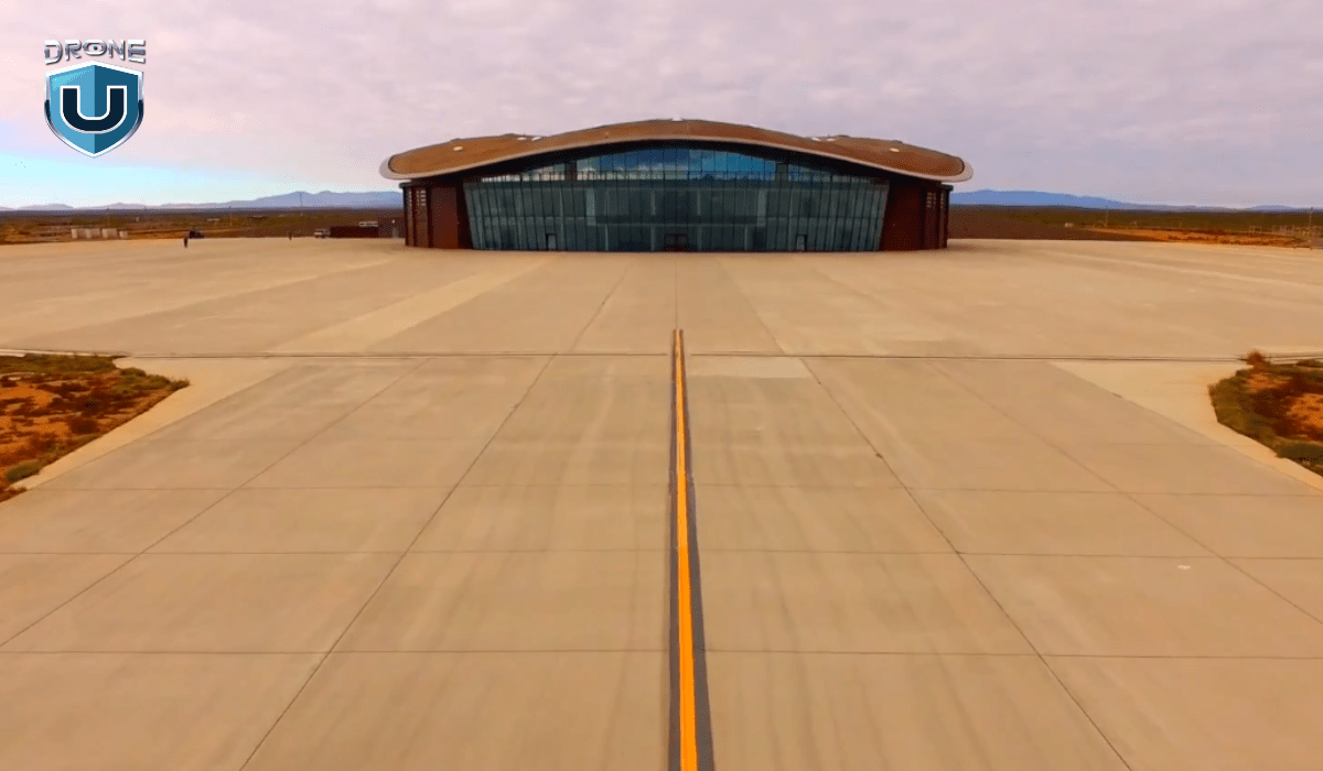
Urban planners use drone modeling to visualize proposed developments within existing cityscapes, measuring the impact of new projects and planning infrastructure upgrades accordingly. You can also provide high-quality 3D drone models to potential buyers with immersive tours of properties, showcasing features and layouts more engagingly and comprehensively.
5. Mining and Geology
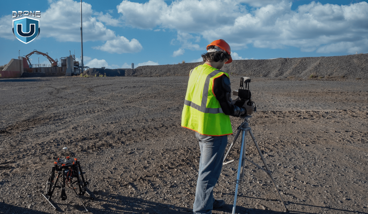
In mining operations, drones map and model excavation sites, enabling tracking of volume extraction, monitoring environmental compliance, and efficient asset management.
Drones collect data in geologically interesting areas for mineral identification, making the study of geological formations easier and providing valuable insights into potential hazards.
6. Archaeology and Cultural Heritage
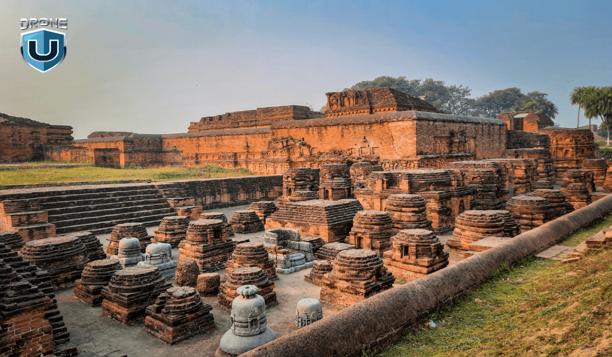
Drones produce detailed 3D models of archaeological sites, enabling researchers to explore and document historical sites without causing disturbance.
These detailed models of historical structures and sites aid in preservation efforts, serving as invaluable digital records for future generations.
7. Energy and Utilities
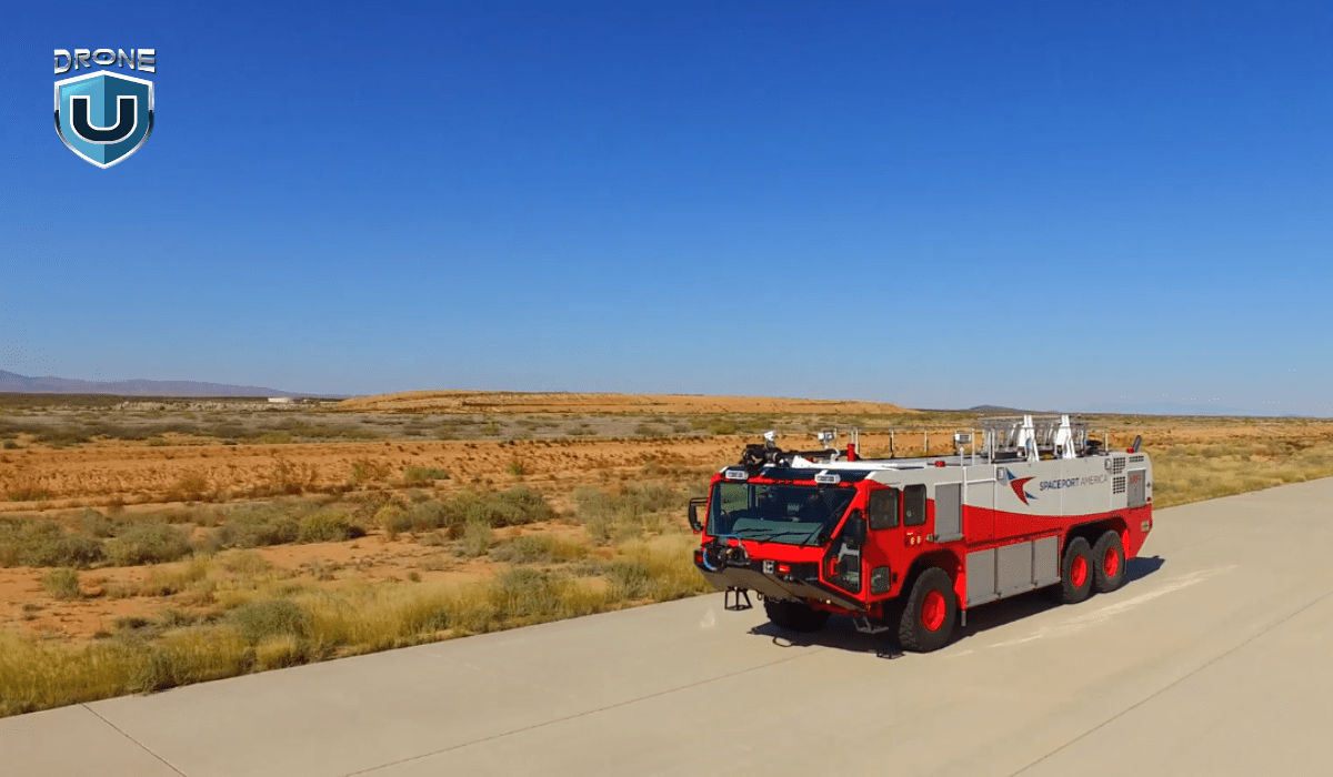
Drones are valuable for inspecting solar farms, wind turbines, and power lines, allowing you to assess maintenance needs or damage from a safe distance, reducing downtime and operational risks.
Drone 3D models assist in site selection and layout planning for new energy projects, ensuring optimal placement of facilities such as solar panels and wind turbines.
Let’s delve into the top drones available in the market for drone modeling.
Best Drones for Drone Modeling
Having covered the essential aspects of drone modeling, let’s explore the top drones that can assist you in your modeling projects.
Here are the best 3 drones for drone modeling:
1. DJI Phantom 4 RTK
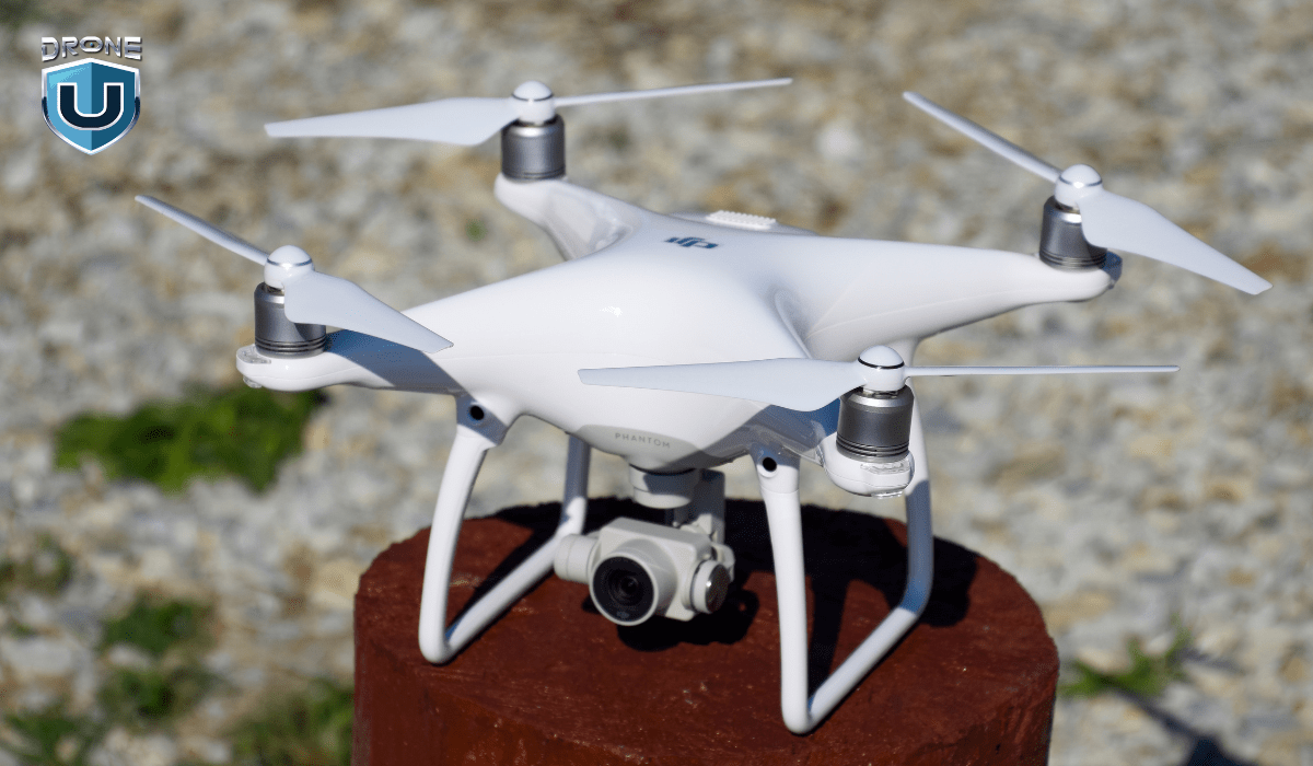
The DJI Phantom 4 RTK is designed for precision aerial mapping, equipped with a high-accuracy GNSS module. It supports RTK (Real-Time Kinematic) positioning capabilities, making it ideal for surveying, construction, and agriculture.
| Features | DJI Phantom 4 RTK |
| Takeoff Weight | 1391 g |
| Sensor | 1″ CMOS; 20 MP |
| Max Flight Time | Approx. 30 minutes |
| Mapping Accuracy | As per ASPRS Accuracy Standards for Digital Orthophotos Class III |
| Ground Sample Distance(GSD) | (H/36.5) cm/pixel |
| Operating Temperature Range | 32° to 104° F 0° to 40? |
| Photo Format | JPEG |
| Video Format | MOV |
2. DJI Mavic 2 Pro
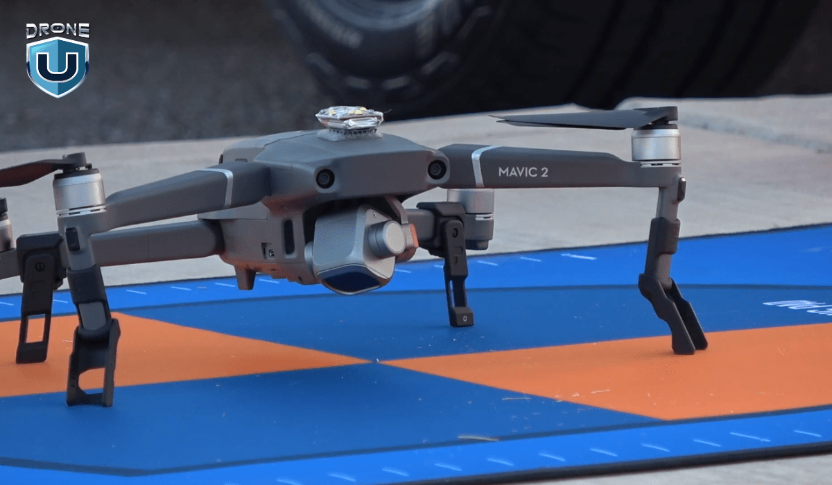
The DJI Mavic 2 Pro features a Hasselblad camera with a 1-inch CMOS sensor. It offers excellent image quality and powerful performance in a compact size. Thus, suitable for professional photography, videography, and aerial mapping.
| Features | DJI Mavic 2 Pro |
| Takeoff Weight | 907 g |
| Sensor | 1″ CMOS; 20 MP |
| Max Flight Time | 31 minutes (at a consistent 25 kph) |
| Operating Temperature Range | -10°C to 40°C |
| Photo Format | JPEG / DNG (RAW) |
| Video Format | MP4 / MOV (MPEG-4 AVC/H.264, HEVC/H.265) |
3. Autel Robotics EVO II Pro
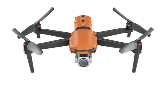
The Autel Robotics EVO II Pro is a popular drone model that offers impressive features such as 6K video capabilities, high-resolution imaging, and adjustable aperture. It’s designed to perform exceptionally well in various lighting conditions, allowing you to capture detailed aerial photographs and map areas with ease. Furthermore, the EVO II Pro is a great option for night photography, making it a versatile choice for any aerial photography enthusiast.
| Features | Autel Robotics EVO II Pro |
| Takeoff Weight | 1187 g |
| Sensor | 1″ CMOS; 20 MP |
| Max Flight Time | 40 minutes |
| Operating Temperature Range | -10°C to 40°C |
| Photo Format | JPEG / DNG (RAW) |
| Video Format | MP4 / MOV (MPEG-4 AVC/H.264, HEVC/H.265) |
Without appropriate drone modeling software, you cannot get the desired results. Let’s explore the top 3 of them.
Best Software for Drone Modeling
To effectively process data captured by drones into precise, detailed models, you need top-notch drone software solutions. Below are the top 3 suggestions:
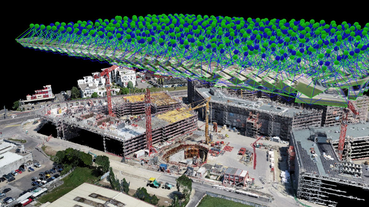
1. Pix4Dmapper
 Credit: Pix4D
Pix4Dmapper is a leading photogrammetry software for drone mapping. It offers end-to-end solutions for creating professional-grade 3D models from drone-captured images. It’s designed for a wide range of applications, from surveying and construction to agriculture and public safety.
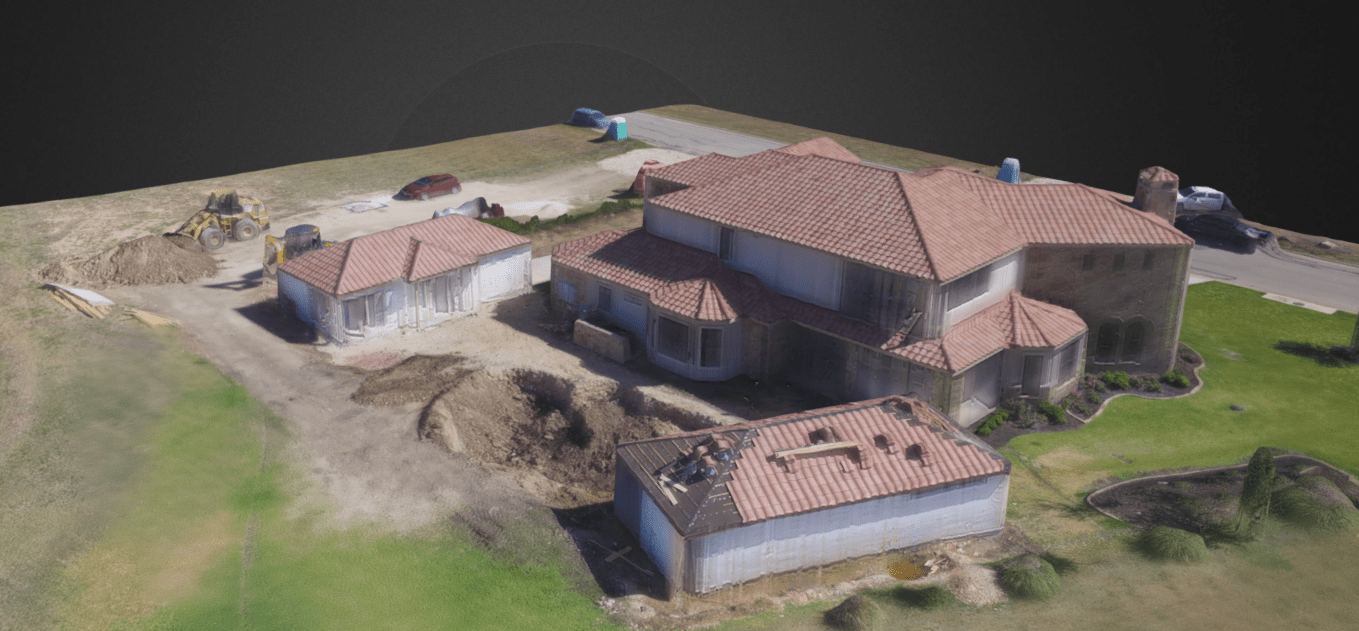
2. DroneDeploy
 Credit: DroneDeploy
DroneDeploy is a cloud-based software platform that simplifies drone mapping. It offers an all-in-one workflow. That enables users to plan flights, capture high-quality imagery, and analyze data across devices.
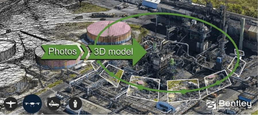
3. Bentley ContextCapture
 Credit: Bentley
Bentley ContextCapture is a powerful solution for creating high-resolution 3D models from digital photographs. It can be used to generate detailed models of urban environments, industrial plants, and historical sites.
Let us understand what the future holds for drone modeling.
Future of Drone Modeling
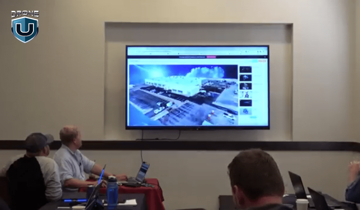
The future of drone 3D models promises significant growth and innovation across various industries. Let’s explore key developments expected to shape their future:
- AI and ML advancements will enhance the processing and analysis of drone-captured data, enabling more sophisticated 3D models to automatically identify features and classify objects, predicting changes over time.
- Advancements in sensor technology will enhance the resolution, accuracy, and detail of drone 3D models, facilitating more precise measurements and realistic representations of the physical world.
- Drone 3D models will play a crucial role in monitoring environmental changes, aiding in assessing the impact of climate change, and supporting conservation efforts.
- The future will witness the rise of more drones capable of autonomous operation, enabling data collection without human intervention. Coupled with real-time data processing, this will enable immediate insights and decision-making.
- Research and development in drone swarms will enable coordinated flights of multiple drones, allowing data capture from different angles and scales simultaneously. This will enhance the efficiency and comprehensiveness of 3D modeling efforts.
Conclusion
Drone modeling is a fantastic technology that helps us gather detailed information and create cool 3D models. Drones are like flying helpers that can make our jobs easier in farming, construction, and even protecting the environment. As drone technology advances, the possibilities for 3D modeling and mapping continue to expand, offering unprecedented insights across industries.
Frequently Asked Questions
Q1. Can drone modeling be affected by weather?
Yes, adverse weather conditions such as high winds, rain, or fog can affect drone flight. To ensure stability and image quality, check the weather conditions beforehand.
Q2. How long does it take to create a 3D model with drone images?
The time required can vary widely based on the size of the area being modeled – the number of images captured, and the processing power of your computer system. Simple projects might be completed in a few hours, while more complex models could take several days.
Q3. What types of data can drones capture for modeling purposes?
Drones can capture aerial imagery, LiDAR data, thermal imaging, and multispectral data for modeling purposes.


Add Your Comment