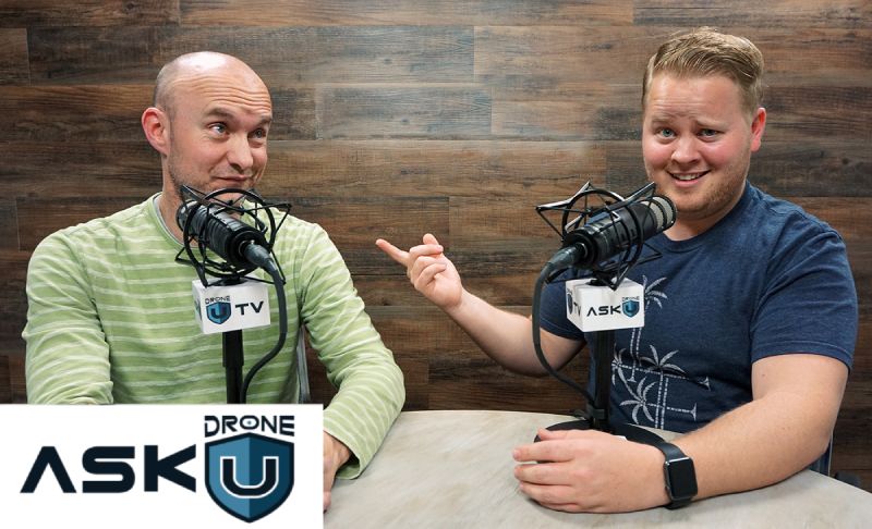
Today’s episode is all about drones for real estate mapping. Hernandez in the Philippines called in to ask how he should price his real estate mapping services and what equipment he should use. We also discuss the deliverables you’ll want to provide for your clients and where the real estate mapping field is headed. Additionally, we talk about the best drones and software for real estate mapping.
If you’re not a Drone U member, you may want to sign up soon. We currently have a mapping course in the works!
Thanks for the question Hernandez! Fly safe!
Get your questions answered: https://thedroneu.com/.
If you enjoy the show, the #1 thing you can do to help us out is subscribe to it on iTunes. Can we ask you to do that for us really quick? While you’re there, leave us a 5-star review, if you’re inclined to do so. Thanks! https://itunes.apple.com/us/podcast/ask-drone-u/id967352832.
Follow Us
Site – https://thedroneu.com/
Facebook – https://www.facebook.com/droneu
Instagram – https://instagram.com/thedroneu/
Twitter – https://twitter.com/thedroneu
YouTube – https://www.youtube.com/c/droneu
Get your copy of “Livin’ the Drone Life” – //amzn.to/2nalUDH
Get your copy of our Part 107 Study Guide – //amzn.to/2omQatT
Timestamps
[02:33] Paul and Rob provide some details about the new Drone U membership
[07:45] Today’s question discusses the equipment that you should ideally use while on a mapping mission
[09:50] Can using a systematic acquisition plan help me further improve existing mapping data?
[10:20] What is the best drone for real estate mapping?
[10:41] Find out why, in spite of the X5s lens, the Inspire 1 and Inspire 2 are not suitable for mapping
[12:11] Why is the Phantom 4 Pro the best drone for real estate mapping?
[14:01] Paul discusses the various challenges that you can possibly encounter while on a mapping mission
[15:25] Do you need a surveyor’s license to prepare and interpret a map?
[17:07] Do you need a surveyor’s license to do a volumetric measurement of stockpiles?
[21:00] Is the Phantom 4 Pro suited for subject tracking?
[21:12] Are there any data acquisition applications that can be used on mapping missions?
[21:44] Are there any programs available that will help me fly autonomously while on a mapping mission?
[22:06] What are some of the advantages of using the “Maps Made Easy” web application?
[22:51] Comparing the pros and cons of Maps Made Easy and Pix4D mapper
[23:07] Is there any good application for mapping orbits apart from DJI Go 4?
[23:34] What equipment do you need to carry on a mapping mission? Find out why the Drone U landing pads a great value proposition


