Today’s question is about creating water delineation models via UAV mapping. What sort of actionable insights will you get from a water delineation model? And, which are the best drone systems for this job?
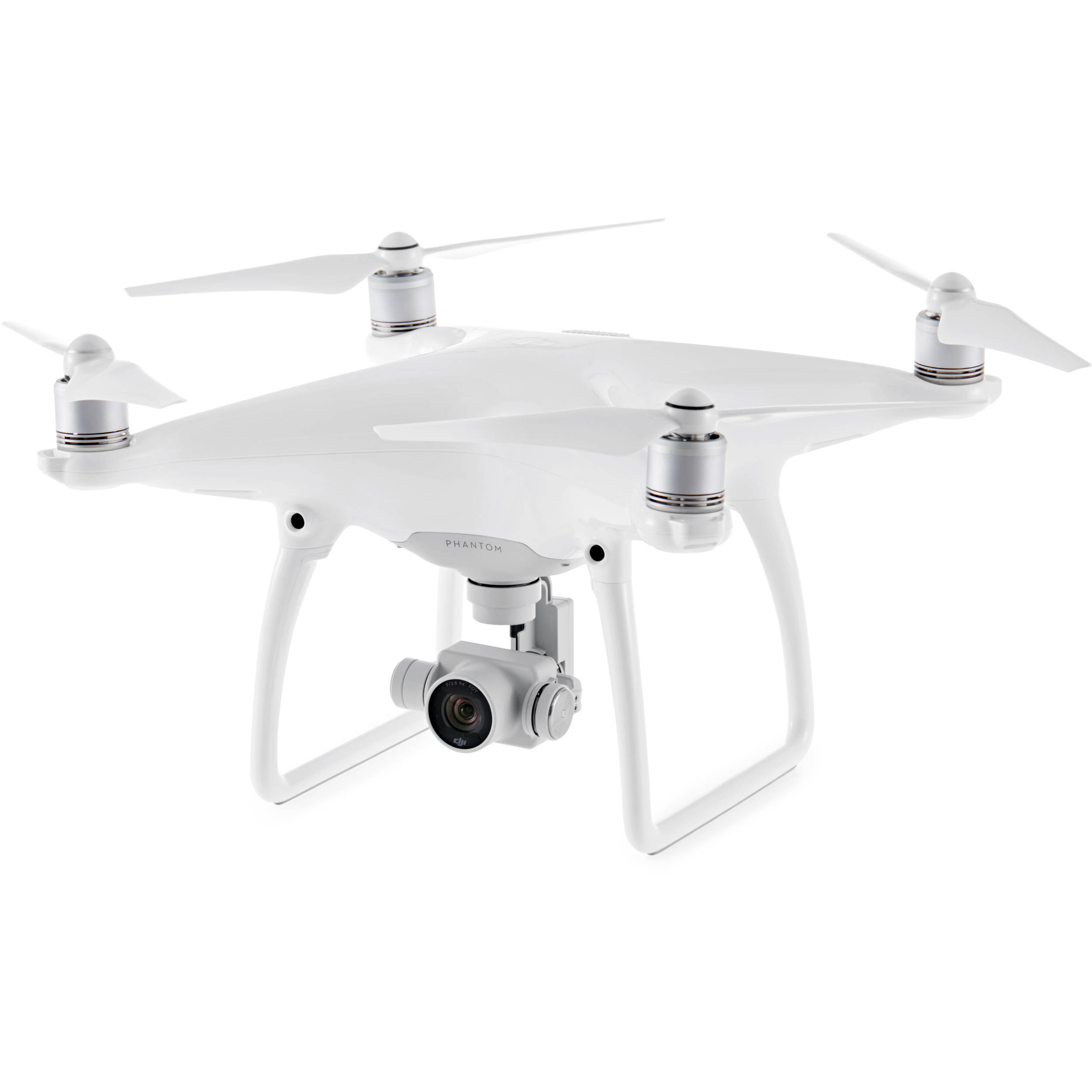
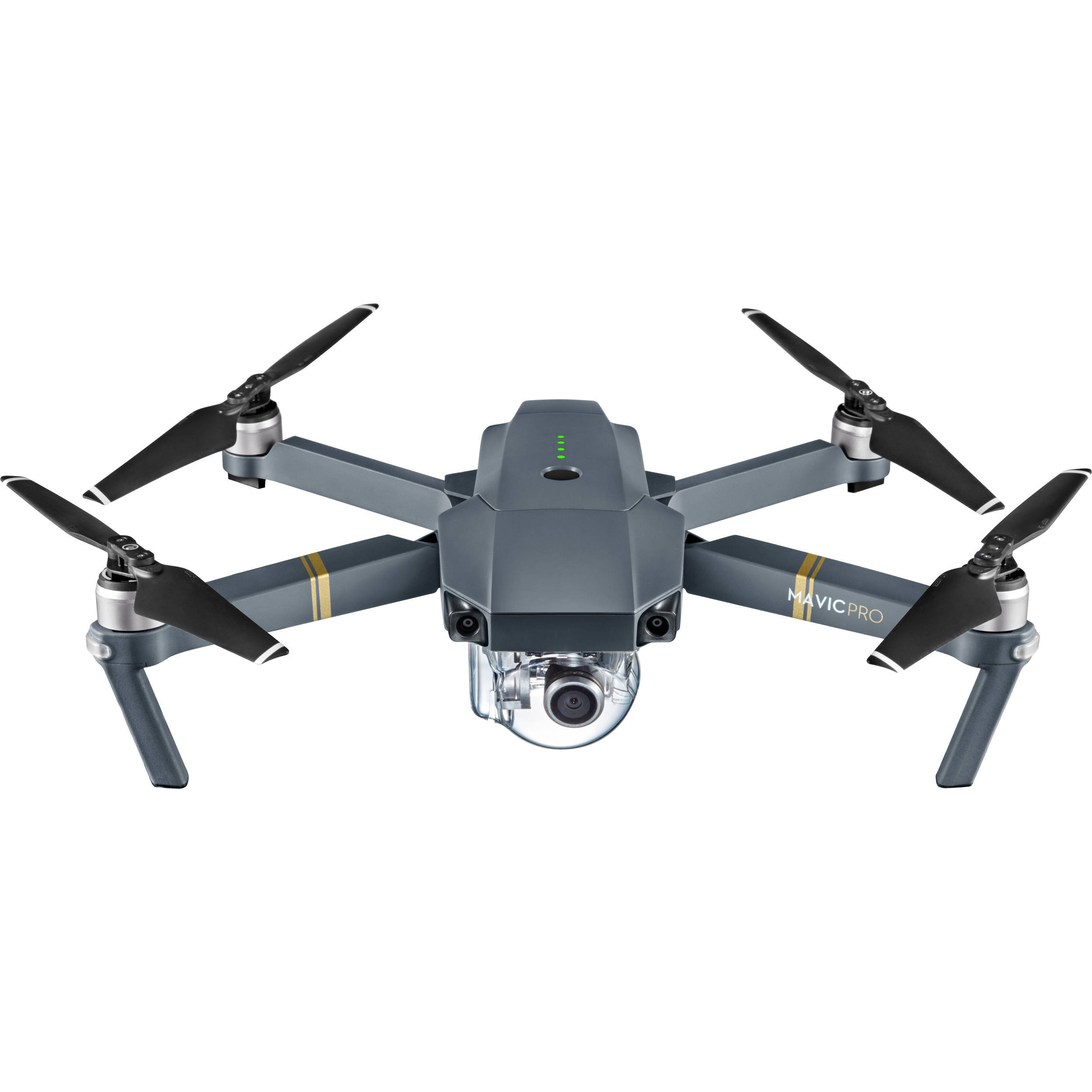
Drone mapping is being used to acquire intelligence for little known applications. One such application is optimization of irrigation systems. Our caller is contemplating using the Phantom 4 Pro or the all new Mavic 2 to create a water delineation model. Is this a wise choice? Paul states important criteria that the caller should consider before buying a drone for this job.
We also reveal and discuss the capabilities of the 3 in 1 drone camera, Altum. What are the benefits of using the Altum for UAV mapping? Tune in to this informative packed episode. Thanks to the caller for the great question. Fly Safe!
Make sure to get yourself a Drone U landing pad!
Recently crashed your drone? Unable to find trained technicians who can repair your drone quickly and at a reasonable rate? Don’t fret. The cool folks at Fortress UAV can help you get your drone back up in the air in as little as 7 days! Use Promo Code “DroneU” to get 10% off. Check them out now!
Get your questions answered: https://thedroneu.com/.
Become a Drone U Member. Try us out for 14 days and access over 30 courses, including Part 107 training, plus our amazing community for $1.
If you enjoy the show, the #1 thing you can do to help us out is subscribe to it on iTunes. Can we ask you to do that for us really quick? While you’re there, leave us a 5-star review, if you’re inclined to do so. Thanks! https://itunes.apple.com/us/podcast/ask-drone-u/id967352832.
Follow Us
Site – https://thedroneu.com/
Facebook – https://www.facebook.com/droneu
Instagram – https://instagram.com/thedroneu/
Twitter – https://twitter.com/thedroneu
YouTube – https://www.youtube.com/c/droneu
Get your copy of “Livin’ the Drone Life” – //amzn.to/2nalUDH
Get your copy of our Part 107 Study Guide – //amzn.to/2omQatT
Timestamps
- [01:05] Learn about our newest sponsor, Fortress UAV
- [02:50] Today’s question is about using drone mapping for water delineation models in order to optimize irrigation systems
- [03:55] Can you use the Mavic 2 for UAV mapping? Learn what the initial reports suggest
- [05:44] Does the global shutter on the Phantom 4 Pro V2 render it a better for drone mapping?
- [06:08] 3 Factors that will make a drone ideal for UAV mapping
- [06:51] Can you make water delineation models with the Phantom 4 Pro?
- [07:27] What sort of actionable insights can you get from a water delineation model?
- [07:55] Learn about the 3 in 1 drone camera, Altum by Micasense with thermal, multispectral and EO capabilities
- [10:20] Can you use a DJI drone to fly the Altum?


 Explore more on Drone U


