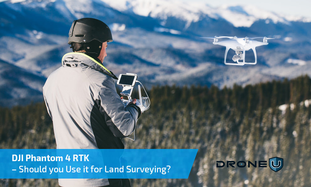
In today’s show, we discuss the mapping workflow for DJI Phantom 4 RTK. How does the drone mapping workflow differ from non-RTK drones like the Phantom 4 Pro?
Our caller, Lorenz from Wisconsin, is using a DJI Phantom 4 RTK for drone mapping. Lorenz is wondering if he needs to make any significant changes to his mapping workflow. Are there any issues specific to Phantom 4 RTK users that Lorenz needs to be aware of?
In this very detailed show, DJI Phantom 4 RTK users will learn the most accurate and efficient drone mapping workflow. In the past, we have shared our experiences with the Phantom 4 RTK. While there are many advantages to this RTK drone, you will have to deal with some unique problems too. For instance, when you acquire data with the DJI Phantom 4 RTK, the datum for images and GCP’s tends to differ. What do you do in this case?
In this show, you will learn when and how to make changes and corrections to your coordinate system. You will learn about geiod height and whether you should set your geiod height above WS G84 ellipsoid. How do you make corrections when mapping a large area with different offset values? Will using the Propeller Aeropoints along with DJI Phantom 4 RTK result in more accurate drone mapping data? Thanks for the great question, Lorenz. Fly Safe!
Drone U members can rent Propellor Aeropoints at a special discounted price. Click HERE to learn more.
Make sure to get yourself the all-new Drone U landing pad!
Get your questions answered: https://thedroneu.com/.
If you enjoy the show, the #1 thing you can do to help us out is to subscribe to it on iTunes. Can we ask you to do that for us real quick? While you’re there, leave us a 5-star review, if you’re inclined to do so. Thanks! https://itunes.apple.com/us/podcast/ask-drone-u/id967352832.
Become a Drone U Member.
Looking for simple, fast, and transparent coverage that gives you peace of mind? Our friends at Skywatch are offering affordable on-demand drone insurance that rewards YOU for flying safely. Check them out NOW! Both hourly and monthly options available.
Follow Us
Site – https://thedroneu.com/
Facebook – https://www.facebook.com/droneu
Instagram – https://instagram.com/thedroneu/
Twitter – https://twitter.com/thedroneu
YouTube – https://www.youtube.com/c/droneu
Get your copy of “Livin’ the Drone Life” – http://amzn.to/2nalUDH
Get your copy of our Part 107 Study Guide – https://amzn.to/2omQatT//amzn.to/2omQatT
Check out our upcoming Mapping Classes – https://www.thedroneu.com/droneu-events
Timestamps
- [01:44] Check out our all-new Drone U Landing Pads
- [02:48] Today’s question is about the best and most efficient mapping workflow for the DJI Phantom 4 RTK
- [04:06] DJI Phantom 4 RTK vs. Phantom 4 Pro – How does the drone mapping workflow differ?
- [04:22] Do you need GCP’s when mapping with the Phantom 4 RTK?
- [04:39] What is a problem that professional mappers are facing with the Phantom 4 RTK? What should you do when the datum for images and GCP’s differs?
- [05:15] When should you use the geoid height above the ellipsoid function?
- [06:40] What should you set the geiod height to? When should you change the geiod height?
- [07:45] How to set the geiod height above WS G84 ellipsoid
- [08:10] Do you to make corrections to your vertical coordinate system when using Pix4D?
- [12:01] How can you make corrections for a large area with multiple offset values?
- [12:23] How can Drone U help you rent Propeller Aeropoints at affordable rates?
- [14:02] Paul explains the traditional drone mapping workflow
- [15:28] Do you need to use GCP’s with the DJI Phantom 4 RTK? We suggest an alternative workflow using the Propeller Aeropoints and Phantom 4 RTK
- [17:43] Watch and learn how to set the output coordinate system parameters for DJI Phantom 4 RTK in Pix4D
- [20:23] Pix4D User conference is coming up on October 2-3 in Denver, Colorado. Register Now!


 Explore more on Drone U


