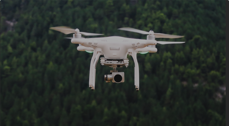
If you’ve been involved in any aspect of the drone business since Part 107 regulations were introduced by the FAA, then you’re probably frustrated with the length of time it takes to get authorization for a simple commercial flight.
In short, the FAA has made things complicated for responsible pilots hoping to fly safely and within the constraints of the federal guidelines. Sure, the web portal that operators must go through in order to receive clearance for a flight from air traffic control (ATC) in controlled airspace is straight-forward enough. However, the inability to track your requests and the unreasonable amount of time it takes to get a response make the process very frustrating.
You may know pilots who fly missions in controlled airspace without authorization. These are the folks who, despite knowing the rules, fly at their own convenience without regard for federal regulations. They figure that the FAA has bigger things to worry about than rogue drone operators.
While these pilots may be able to get away with it, you don’t want to be that person. Instead, look for reasonable ways to work within the constraints of the system, despite how awful it may be. We’ve offered some tips that will help you get airspace authorization when you need it (and hopefully well ahead of time.
CHECK THE SECTIONAL TO CONFIRM THE AIRSPACE IS NOT CLASS G
Learning to read a sectional aeronautical chart is not only a requirement of your remote pilot certification process, but it is also a skill that could help save you an immense amount of time and money. In San Diego, for example, there is a sliver of uncontrolled airspace at Mission Bay where Part 107 operators do not need ATC authorization in order to fly. Without the proper knowledge, operators could easily misread the sectional and miss out on a great opportunity. Having the ability to read sectional charts will be beneficial for you as a pilot and a business owner.
APPLY FOR AUTHORIZATION IN AN ENTIRE CLASS OF AIRSPACE
In a recent episode of Ask DroneU, Vic Moss gave a comprehensive tutorial on filling out authorizations for an entire class of airspace. For those operators running a real estate business with multiple homes in a certain area, it may be beneficial to request more than just one pinpointed location. This means that certain parameters such as maximum altitude (ceiling) and distance from runway center will be predetermined and authorized accordingly if granted.
These may be difficult to come by depending on the city and class of airspace, but it is worth the effort. You can always file more specific requests subsequently, which is also not a bad idea.
APPLY FOR THE LOWEST POSSIBLE CEILING
Simply put, the FAA is more inclined to grant authorizations that have little-to-no chance of interfering with manned aircraft. This means that altitude should be considered a major factor when determining the feasibility of an authorization. The FAA has started to publish grid maps which show what is likely to be approved around certain classes of airspace. At time of publication, the Class E maps are the only ones available, but they, at the very least, give pilots a framework for how to approach classes B, C and D airspace as well.
Keep in mind that, when shooting aerial cinematography, 20 feet above the roof line of the subject is plenty of altitude for getting stellar photo and video. Oftentimes, this is no higher than 75 feet AGL, depending on the structure. Limiting your requests for authorization within this threshold will your chances of obtaining permission to fly.
PLAN AHEAD
The FAA tells applicants to expect their request response within 90 days of application. While they are trying to expedite the process, they are currently working at a federal government’s pace to rectify the problem. For this reason, operators should do everything in their power to plan ahead. One FAA contractor I spoke with via e-mail bluntly told me, “Please put in your requests at least 30 days out”. While some pilots have reported receiving earlier notification, the 30-day window is a safe bet when submitting via the online portal.
ASK YOUR CONGRESSPEOPLE FOR HELP
Any United States citizen has the ability to ask their local congressional office for help in contacting the federal government. Each of these offices have a liaison assigned to reach most entities in Acronym Land, including the FAA. Each representative has a defined process that likely involves small amounts of paperwork about your project.
Make sure that you let them know a lack of response could (and likely will) encourage illegal and unsafe operations by other operators who are comfortable taking irresponsible risks.
This is a message that the community cannot spread far and wide enough.
Good luck, and fly safe!
Michael Jones is an FAA-licensed commercial UAS operator and chief pilot of California Aerial Media based in San Diego, California. With 20-plus flight hours in single-engine manned aircraft and hundreds more logged in UAS, aviation is one of his true passions. In addition, he is an award-winning author whose work has been featured on sites such as Yahoo!, MapQuest, About.com and Vox Media among many other publications.


Add Your Comment