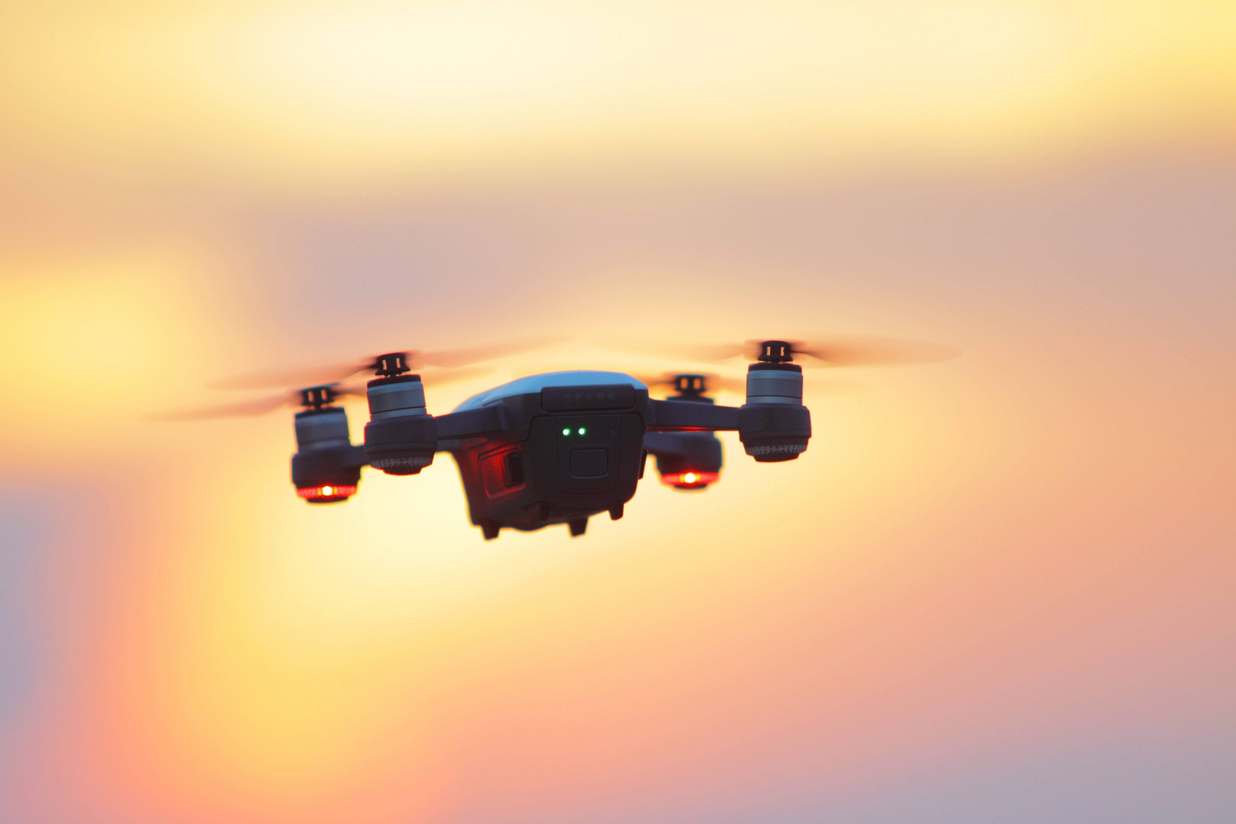
After the extremely successful launch of the Mavic 2, drone pilots were eagerly waiting to get their hands on the DJI Phantom 5. In the midst of all this, DJI sprung another surprise by launching the DJI Phantom 4 RTK drone. Like all DJI offerings, the Phantom 4 RTK does it bit to alter the market dynamics. Now, you can get a drone and RTK unit for just $8,700.
But, can you generate sub cm survey grade accuracy with this drone system? Do you really need a RTK system in order to produce survey grade data? Will the accuracy be comparable to that of standard surveying solutions like Trimble and Leica? Or, should you opt for alternative solutions like Propeller Aeropoints? Read on to find out…
In this show, you will learn about:
-
The different kinds of GPS
-
Advantages of using RTK GPS for surveying
-
Whether the Phantom 4 Pro RTK drone will result in a reduced workflow
-
Phantom 4 RTK Price Tag (Drone and Drone + Base Station)
Do You Need RTK GPS to Produce Survey Grade Data?
Typically, there are three different kinds of GPS available – RTK, PPK and GLONASS. RTK and PPK GPS are more accurate, and are used to define Ground Control Points. Using RTK, you can get cm grade accuracy, whereas PPK GPS is even more accurate – and you can get mm grade accuracy. GLONASS GPS is less accurate and typically used to maintain flight stability.
Remember – in order to get accurate survey grade data, GCP’s need to be equipped with a more accurate GPS system compared to the drone. So, if your drone is using GLONASS, you need RTK GPS or PPK GPS to define your Ground Control Points. Drone pilots use GCP’s to improve data accuracy and quality.
Building an accurate map is extremely difficult because the earth’s surface is not flat. Instead, the earth’s surface can be likened to a piece of crumpled paper. Now GPS uses an ellipsoid system to make horizontal and vertical measurements. However, the earth’s irregular surface which is represented by the geoidal surface is not parallel to the ellipsoid line. Apart from these imperfect orbits, errors in satellite clocks also contribute to inaccuracies in GPS signals.
The best way to deal with these errors is to correct them as they happen – in real time. That is exactly what happens in with a RTK GPS system.
If you are using a non – RTK system, you can be certain that your GPS data and particularly your elevation data will be totally off. There is no way a surveying team is going to sign off on your drone model if you are not using GCP’s.
Why Is the Phantom 4 RTK Drone Ideal for Surveying and Mapping?
So, what makes the Phantom 4 RTK drone the ultimate surveying and mapping solution? First of all, the presence of Double band RTK means that more satellites are available. So, any data inaccuracies will get dealt with faster and in a more precise manner compared to a single band RTK system.
DJI claims that you can achieve 1 cam horizontal accuracy and 1.5 cm vertical – which is very, very difficult to achieve otherwise. To put things in perspective, if you are using a non RTK system in an area with many elevational changes and bad reception, vertical inaccuracies can be as high as 10 cm.
The other advantage of using the Phantom 4 RTK is its ability to autonomously geo tag images – which makes your workflow far easier. In normal circumstances, you will have to import the images into a program and write the EXIF data from your GPS data.
Apart from surveying and mapping, you can of course, use the Phantom 4 RTK for aerial videography and photography. So, now you can achieve cinematic excellence and survey grade accuracy with just one drone system.
And finally, this new drone system comes with an extremely attractive price tag. For $8,700, you are getting a drone and RTK unit. If you choose to buy just the drone, the Phantom 4 Pro RTK price tag is an affordable $6,300.
How Does the Phantom 4 RTK Compare to Current Alternatives like Trimble and Aeropoints?
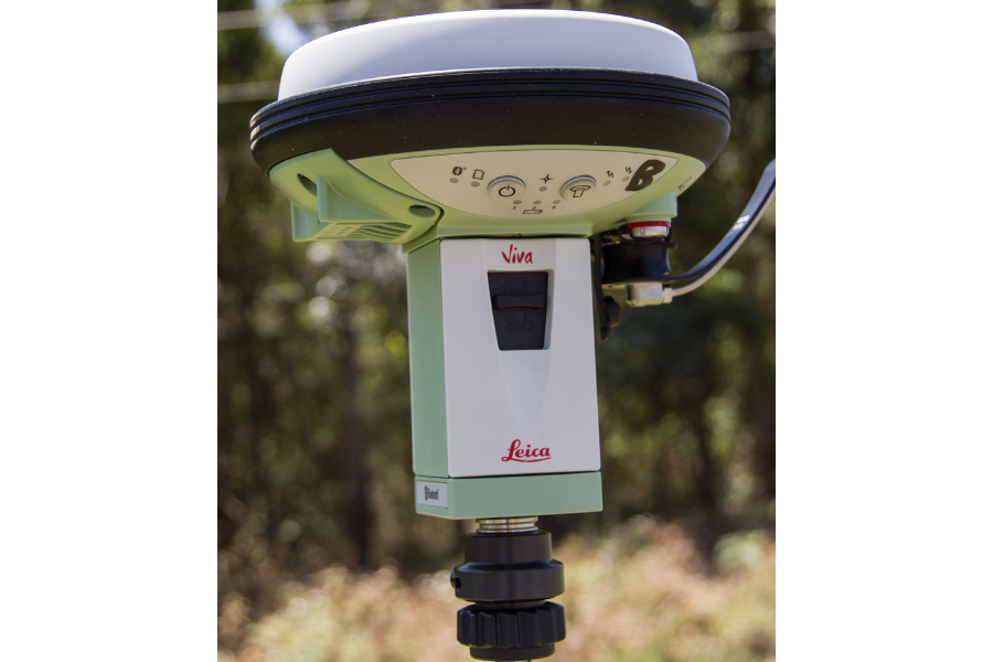
So, currently, what alternatives do you have to the Phantom 4 RTK drone? You have the option of opting for a Leica or Trimble total station. However, these systems are expensive, and will set you back by 20 grand. Moreover, it is harder to aggregate data using Trimble.
Alternatively, you can also use Propeller Aeropoints which are RTK equipped Ground Control Points. Once GCP will cost you $600. But the catch is that you need to purchase these in sets of 10. Also, your final deliverable is uploaded to the cloud which you can typically access after a couple of days. Propeller Aerobotics have been working with DJI and testing the Phantom 4 RTK to develop a unique workflow which can potentially allow you to achieve survey grade accuracy without the use of a RTK base station. Vertical accuracies ranging from -0.01 ft (0.3) to 0.35 ft (10.6 cm) were achieved using this new workflow. Click HERE to learn more.
Become a Drone U Member.
Follow our Medium Account for commentary on the latest happenings in the drone industry.
Do not forget to subscribe and Listen to Ask Drone U, the #1 drone podcast


Add Your Comment