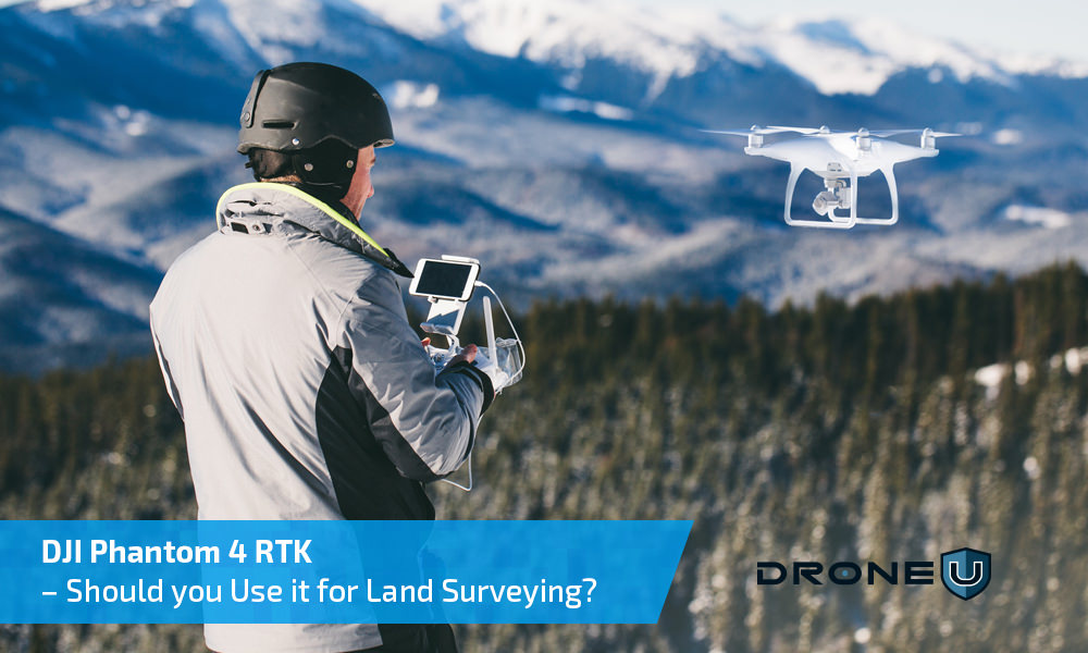
The Phantom 4 RTK, launched in the latter half of 2018 was touted as the “Ultimate Mapping & Land Surveying Tool”. Does this drone live up to the hype?
After extensive testing, we have discovered the essential pros & cons that will help you decide whether the Phantom 4 RTK is the right drone for your land surveying needs.
Can you eliminate GCP’s if you are using the Phantom 4 RTK?
That is a common question that drone pilots often ask us. To answer this question, we got in touch with Jason from NexGen Surveying. Jason has been using the Phantom 4 RTK without GCP’s. Jason found that accuracy on the X and Y axis were 1/10th feet or under whereas accuracy on the Z axis was 2/10th feet or under – which is quite remarkable. So, as a surveyor, can you do away with GCP’s if you are using the Phantom 4 RTK? Not quite.
Your land surveying data has legal ramifications. When a property changes hands, it is critical that surveyors accurately calculate the size of a property. That will help determine land cost as well as taxes. Now, using GCP’s in your workflow is a proven and bulletproof way of acquiring survey grade data. If you are using GCP’s, you can get a surveyor to sign off on your data, and that data will hold up in the court of law if need be.
Phantom 4 Pro RTK in Land Surveying – Understanding the Pros & Cons
The Pros first. You can control five RTK drones with a single remote. However, you WILL need a Part 107 waiver to operate more than one drone at the same time. The Phantom 4 RTK also comes with adjustable aperture control to negate over-exposure.
Results show that RTK data is recorded to the EXIF data when you are flying in any of the intelligent modes. But, what about free flight mode? While initial results suggest that data for free flight mode is RTK corrected as well, we are yet to receive confirmation from DJI on this.
Let’s talk about the cons now. One significant disadvantage is that you will be forced to use DJI’s proprietary Ground Station Pro with the Phantom 4 Pro RTK. This Ground Station Pro is specially designed for the Phantom RTK and is different from your normal application. So, if you are a Pix4D or Maps Made Easy user, you will face some initial discomfort as you attempt to figure out RTK’s proprietary application.
It is heartening to note that SDK packages are currently under development. And shortly, you should be able to use other mapping applications with the Phantom 4 RTK.
Another disadvantage of the Phantom 4 RTK is that you CANNOT fly in orbital mode.

Can you use the Phantom 4 RTK without a base station?
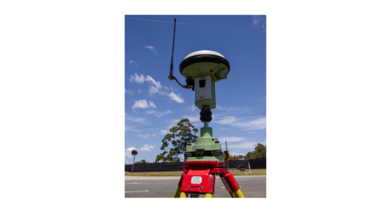
Phantom 4 RTK can be used without a base station as long as you can connect to a corrections network through a proprietary dongle or wireless hotspot device.
This correction network is an NTRIP network (Networked Transport of RTCM via Internet Protocol network). NTRIP networks can be free or paid. Click HERE to learn if your state is offering free NTRIP service.
If you are taking up drone jobs in a state where free public RTK service is not available, you will have to pay for access to proprietary networks.
Topcon and Leica are some of the providers offering paid RTK services. When using a paid NTRIP service, you will get much better base station density – which will result in more accurate corrections.
But, what happens if you cannot connect your drone to an RTK network? Thankfully, this drone is PPK enabled as well. So, as a fall-back, you can always connect to a PPK network for corrections. However, you WILL need a third party software like Trimble GPS Pathfinder for processing PPK data.
Your network connectivity will be affected by anything that comes between the receiver (in this case, the drone) and the satellite. So, you are likely to face connectivity issues if you are flying an RTK drone on a cloudy day, or in an area with dense vegetation. The position of the satellite can also affect your network connectivity.
Conclusion
So, will the Phantom 4 RTK result in a more natural and compressed workflow? Yes – particularly if we can eliminate GCP’s from your workflow. Scaling up land surveying operations will also be far easier without GCP’s. However, as of now, we cannot say with certainty that survey grade data can be acquired without GCP’s. For more redundancy in your workflow, we recommend using Aeropoints with the Phantom 4 RTK.


Add Your Comment