As the DJI Phantom Drone, which allowed for more drone operations than any other aircraft in the industry fades away into the darkness, the moot question remains – which drone manufacturer will provide a drone that can solve numerous problems with one vehicle and aircraft?
Who will build the next Honda Civic of drones? I know it sounds kind of silly, but it’s actually quite a simple question. Experienced drone pilots are looking for a drone that offers great video, high-quality images, and is systematically well-built for drone mapping. Now the ladder of those three is typically where most industry insiders showcase their lack of intelligence and knowledge in the industry as a whole.
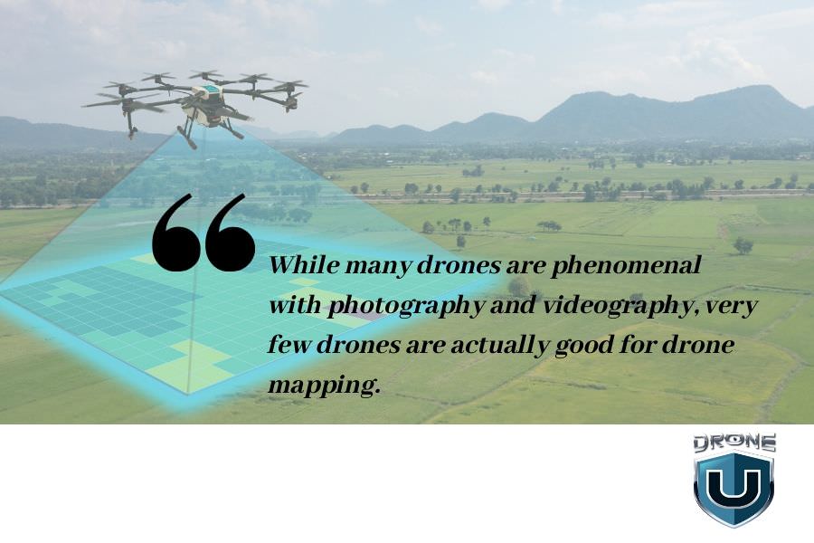
When it comes to drone mapping, there are so many nuances and systems and systems inside of systems to ensure that drone mapping workflow is not only accurate but also reliable and repeatable. With a lot of construction companies needing to map on a daily or even weekly, certain drones simply do not allow for this to happen.

Why? It’s a very common problem.
And many people think that they have a firm grasp of this problem – frankly, they do not. Because we’re all lazy ultimately, and without really digging down into the nitty-gritty details, we’re often going to find ourselves lost in a pool of information.
The drone industry is one specific entity that requires such detail and nuanced knowledge and information. It’s the same lack of practical knowledge and nuanced information, in my opinion, that’s holding back our regulators from really allowing drones to take flight.
What do I mean by that? I really believe the lack of practical experience and flying drones in our regulatory body is crushing the industry because these officials do not even understand how to judge drone pilot operations. And they even mentioned that in the last FAA DAC meeting that took place.
Now, why are we asking for a Honda Civic of drones? We’re looking for a drone that typically has a global shutter and can articulate flight maneuvers that small drones cannot. They can handle wind, they can fly at night, and they have great flight times.
Also, they work all the time, are reliable, and you can repeat the processes over and over. This has been one particular problem with the enterprise series of drones, as there are many nuanced applications and workflows for these expensive drones. Because of these complexities and nuances, the enterprise drones have no clear systematic means of executing workflows. From one enterprise vehicle to another, it makes it extremely difficult to scale operations at your company or program. That’s why we are asking the question.
Who will be the next provider of the Honda Civic of drones?
The DJI Phantom 4 Pro was probably the best drone ever made. While the DJI Phantom 4 Advanced gave you maximum bang for the buck.
Well, why do I say that? With a Phantom 4 Advanced, we don’t have the obstacle avoidance that we would have on a Phantom. But if you’re a good pilot, you probably don’t use it very much. That being said, the Phantom 4 Advanced also has a global shutter. Very important.
Global Shutter vs. Linear Rolling – Do You Need a Global Shutter to Run a Profitable and Scalable Drone Mapping Business?
And I’m not talking about a mechanical shutter or an electronic shutter. I’m talking about a global shutter, where the image readout is the entire sensor at one particular given time.
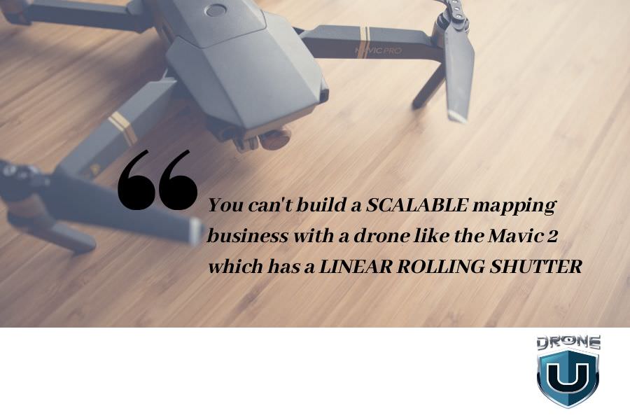
Many people do not understand the problems with linear rolling shutter cameras and global shutter cameras. A linear rolling shutter camera is able to conduct drone mapping missions. But a lot of people don’t understand why the knowledgeable and experienced drone pilots hate linear rolling shutters.
It comes down to the practical question. Can you run a business off of a drone with a linear rolling shutter?
The answer is NO.

And here’s why. Typically, when I’m flying a Phantom, I can, let’s say, map a 10-acre area on a double grid mission in about 18 to 19 minutes. That same mission would take three to four times as long to fly with a drone with a linear rolling shutter. Well, why? It’s because the drone has to fly in safe mode, or a much slower flight mode, so that when the images are taken with a linear rolling shutter camera, the images are not distorted.
Why do the images get distorted?
Well, a linear rolling shutter camera is a lot like a copy machine. You get that long sweeping swipe from one side of the image to the other side. Now, why is that a problem? Well, if we’re trying to measure one place and distance to another in one image, the image must be taken at the same time. Otherwise, in addition to image distortion, there’s also going to be distortions in the calculation.
Now, many industry salespeople and consultants say that there’s a correction for the linear rolling shutter issue.
Whenever someone says that it instantly tells me they do not know what they’re talking about when it comes to drone mapping because while it may take three to four times as long to acquire the same imagery, it now takes twice as long to process the same imagery as global shutter imagery.
So if I increase the acquisition time four-fold, and increase the processing time two-fold, it shall become nearly impossible to scale my drone operations at volume. Generating a drone map every single day is out of the question because my computer simply wouldn’t be able to keep up.
Now DroneDeploy has solved this particular issue by allowing cloud processing of mapping images. And while DroneDeploy may be the absolute best at ortho-mosaic construction in the industry. It’s the absolute worst when it comes to 3D textured mesh or 3D data in my opinion.
While Pix4D is the industry leader when it comes to point cloud construction, Pix4D has allowed everyone to essentially create any possible deliverable. They just don’t make it easy for you to export said deliverable in a nice beautiful format that your client is going to respect. This is why oftentimes, a lot of construction companies are choosing to work with companies like DroneDeploy, or Propeller Arrow when utilizing high-quality accurate data to solve database problems.
Now in construction, if I need to map the area every single day to understand if my contractors are pouring as much concrete as they say they are, I need to be able to map every single day. I need to have high-quality 3D data. So I don’t mean just shooting a single acquisition grid. I’m talking about double grids with obliques to ensure that I have the best possible data and no holes in my map.
For those of you who may be having trouble understanding where I’m coming from this problem is very simple. With a linear rolling shutter camera, it’s almost impossible to create beautiful 3D data to solve problems at volume. So if you’re trying to scale a drone program, it’s almost impossible.
So why do so many drone manufacturers choose a linear rolling shutter camera over a global shutter camera?
Well, it’s quite simple. It all comes down to the money. A liner rolling shutter is exponentially cheaper to manufacture than a global shutter.
But it just makes me wonder that now with all the issues that DJI has been having in the last year to produce a new drone, the doors have been opened up very wide to allow for another competitor to come in and manufacture a phenomenal mapping drone.
So What Does the Honda Civic of Drones Look Like? Our Wishlist….
Well, very simple. It looks like this. It’s a quadcopter or a helicopter that’s sub 400 millimeters from one motor to another. It’s a drone that can fit in a backpack or in a small case that can be in a trunk, in a, in a fire truck in a police car, or can be you know, hiked up the side of a mountain. If there’s a plane crash that needs to be investigated. It’s a drone that always works.
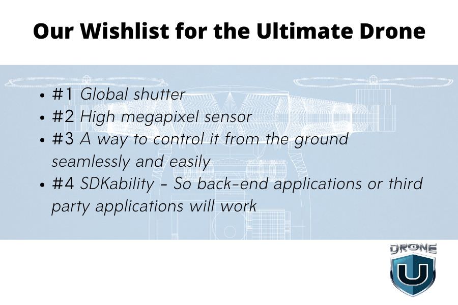
It’s a drone that has a global shutter. It’s a drone that has some sort of obstacle avoidance, multiple IMU’s, multiple campuses and is easy to control from the ground. It must also have a concrete SDK that third-party developers can utilize to help control the drone for autonomous flight missions.
Also, we need a larger sensor, we need a sensor that’s not only global shutter, but now we need something that’s maybe 36 megapixels. 32 megapixels. This way more and more people can do drone mapping because the larger the sensor for drone mapping, the lower that people can fly. So people in the Pacific Northwest with hundred-foot trees are having difficulty with drone mapping and photogrammetry as they’re choosing to go and use LIDAR. Well, what if we had a larger sensor and we didn’t need to fly as low? What if we had a global shutter sensor so we don’t have to fly slow? And what if we had a reliable drone that we could input controls from the ground at any given time?
So what are the specifications of this magical Honda Civic of drones? Let’s start from the top.

We love 4K60 videos. We want 1080 footage at 120. In addition, we love the ability to have aperture control, and we love the ability to have full control of the sensor itself.
Most drone pilots like having attitude mode. Why? It’s the ultimate way to get the smoothest video possible, have ultimate control of the drone, eliminate any autonomous glitches and ultimately stop a fly away. If your drone doesn’t have attitude mode, it’s just a matter of time before you’re going to face some sort of catastrophic flight.
What else does this Honda Civic of drones have? Cheap replaceable batteries, long flight time, can fly in cold weather with you know, self-heating batteries. It also has an easy camera, maybe even interchangeable lenses. So that someone could do mapping at 24-millimeter equivalent, or maybe a 50-millimeter equivalent, which would provide so much power to not only photographers and photogrammeters, but also videographers as a whole.
One drone company could knock it out of the park if they had a global shutter camera, interchangeable lenses, over 25 minutes of flight time, and a two to three-mile flight and video transmission distance. That’s always the last part and I typically forget to mention that. This Honda Civic of drones existed. It was the Phantom 4 Advanced. Now if someone can create another Phantom for advanced with a little bit larger shutter, or excuse me, a little bit larger sensor, a global shutter, a great distance for video transmission, and something small enough that can be portable and flexible to fly just about anywhere. Well, that manufacturer is going to knock the next evolution of the drone market out of the park. Until then I’m excited to see that drone come to fruition.
Become a Drone U Member.
Do not forget to subscribe and listen to Ask Drone U, the #1 drone podcast on iTunes!


Add Your Comment