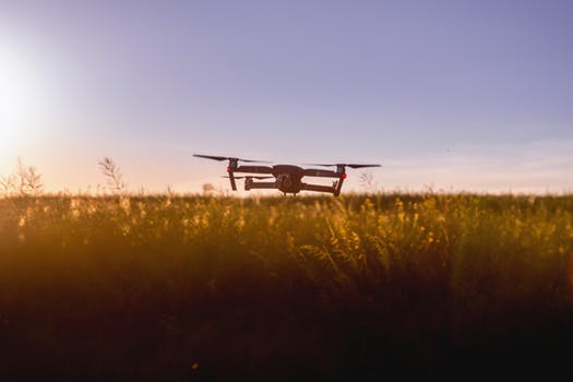
More and more UAV’s are being equipped with LiDAR or Light Detection and Ranging. The ability of drone LiDAR to cut through vegetation and determine the earth topography helps you build a highly accurate mapping model. So, is it wise to blindly opt for LiDAR over photogrammetry? Can you map large tracts of land using drone LiDAR? Are the current FAA regulations conducive for LiDAR mapping?
Choosing the right UAV sensor for your application
The choice of your UAV sensor is dependent on your end use or application. Apart from LiDAR, you can opt for hyperspectral, multispectral, visual or thermal sensors. LiDAR is ideal for critical applications such as digital elevation models and surface variation detection. Because, drone LiDAR can cut through vegetation, it results in accurately determining earth’s topography. Hence, this technology is ideal for mapping areas with dense foliage. So, how do LiDAR sensors work? Distance is accurately measure via emission of a laser pulse and recording the back signal.
Visual sensors can help you create life like models. These are ideal if you want to, for instance create an interactive marketing video for a golf course. However, if you wish to locate maintenance issues with grass and foliage, you will have to opt for a multi-spectral sensor. This sensor is great for determining generic characteristics pertaining to the health of a plant. The spectral resolution for a multi-spectral sensor is 4 to 7 spectral bands.
So, when do you need a hyper-spectral sensor? Typically, a hyper-spectral sensor has 40 spectral bands. What does this mean? You will have much more detailed information. For instance, you can determine crop maturity and any crop diseases and pests. Thermal sensors or heat sensors are ideal for power-line inspections and detection of pipeline leaks. The Sensor Application Matrix is a great tool for determining the right sensor.
Factors that are discouraging the use of Drone LiDAR
FAA’s current stance on maintaining visual line of sight is a major deterrent. The FAA has stipulated that you need to maintain visual line of sight at all times. This holds true even when mapping large swathes of land running into hundreds of acres. The only way to get around this is by daisy-chaining multiple visual observers. This is an impractical solution that is likely to kill a project.
Another huge issue is the massive capital investment. Be ready to fork out $100,000 for an entry level drone LiDAR unit. More sophisticated drone LiDAR systems will set you back by as much as $250,000. So, is cheaper and better drone LiDAR round the corner?
Experts believe so. MEMS or Microelectromechanical systems use a tiny mirror that steers a laser beam in different directions. We can hence, move the laser beam in different directions without mechanically moving the laser unit itself. Elimination of moving parts is expected to make drone LiDAR cheap and durable in future.
Reviewing some popular drone LiDAR systems and their costs
Vapor 55, an unmanned helicopter has a payload capacity of 11 pounds. This drone designed by Pulse Aerospace is known to survey 600 or more acres in an hour with sub-cm accuracy. The RIEGL VUX-1 Series is compatible with Vapor 55. This drone LiDAR unit weighs 3.5 kilos, has an atmospheric visibility of 23 km and a maximum Field of View of 330 degrees.
The Silent Falcon is another sUAS that can be equipped with a LiDAR system. It has a flight endurance of up to 5 hours and a range of 100 km. This system will set you back an estimated $250,000. Phoenix Aerial Systems, Velodyne, Quanergy and YellowScan are known to offer some entry level drone LiDAR solutions. A LiDAR unit by Phoenix will set you back by $125,000.
Conclusion
Are you having second thoughts after hearing the huge upfront capital requirement? It will be heartening for you to know that some drone pilots are charging a few hundred dollars per minute for their LiDAR services! The right skill set, a good clientele and some smart marketing will ensure you recover your investment in a short period of time. Accuracy, ease of use and a wide range of applications certainly renders drone LiDAR a good investment proposition.
Check out our Medium page for more such content
Do not forget to subscribe and Listen to Ask Drone U, the #1 drone podcast
Connect with a vibrant drone community by becoming a Drone U member


Add Your Comment