![LiDAR Surveying – Revolutionizing Geospatial Data [2024]](https://www.thedroneu.com/wp-content/uploads/2024/03/Lidar-surveying-1-1024x597.png)
LiDAR surveying is no longer a futuristic concept – it’s a powerful tool that has revolutionized the way we capture geospatial data. This cutting-edge technique utilizes rapid laser pulses to create incredibly detailed, three-dimensional models of landscapes and structures.
In a short time, LiDAR surveying has become essential across numerous industries. LiDAR propels us forward in a new era of exploration and innovation from construction and infrastructure management to archaeology and environmental monitoring.
This article will explore the details of LiDAR surveying, its functionalities, and exciting possibilities.
Watch this video to learn more about mapping areas with dense vegetation.
Let’s explore what LiDAR surveying is all about.
What is LiDAR Surveying?
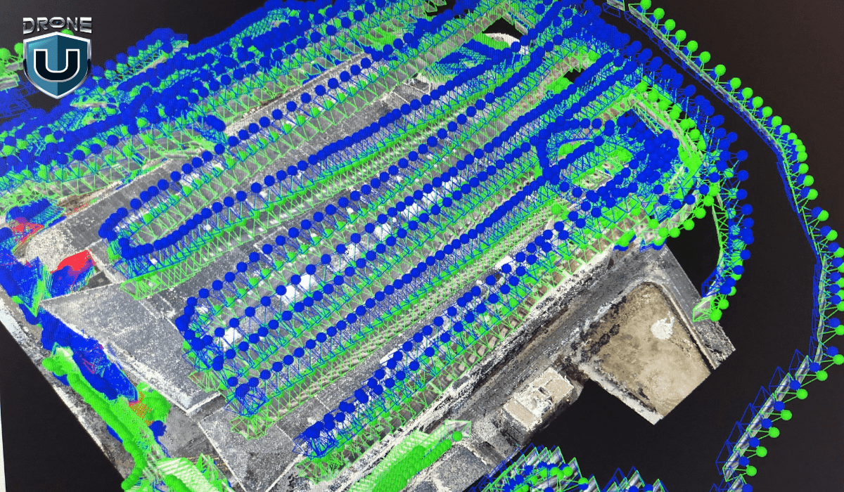
LiDAR, short for Light Detection and Ranging, is a powerful remote sensing technique that acts like a 3D laser tape measure. It works by emitting laser pulses and recording the time it takes for each pulse to reflect off surfaces and return to the sensor.
By measuring this time and knowing the speed of light, you can calculate the distance to the object with high precision. This process repeats millions of times per second. Thus, creating a dense point cloud – a massive dataset of 3D data points representing the surveyed area in incredible detail.
Unlike traditional surveying methods, LiDAR systems can capture data from multiple angles. This allows for comprehensive coverage of the surveyed area, including difficult or dangerous areas. This capability has made LiDAR surveying invaluable across industries.
With the basics established, let’s delve into the different types of LiDAR systems.
Types of LiDAR Systems
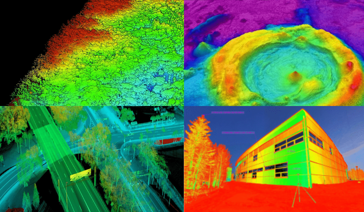
You can sort LiDAR systems by their use and the medium they work in.
Firstly, let’s talk about the common types:
1. Topographic LiDAR
This technology is built for land-based surveys and is effective at mapping the Earth’s surface. This includes from vegetation to buildings and everything in between. They’re like the off-road vehicles of the LiDAR world.
2. Bathymetric LiDAR
These specialized systems can penetrate water bodies like a hot laser through butter. Thus, maps out the seafloor, riverbeds, and any other submerged environments with mind-blowing precision.
However, other more uncommon types of LiDAR are as follows:
3. Mobile LiDAR
Mobile LiDAR systems mounted on moving vehicles or drones map and survey at a faster pace. They are ideal for projects requiring detailed 3D city models or large-scale infrastructure monitoring.
4. Terrestrial LiDAR
These ground-based systems are set up in a single location to capture data of the surrounding area. They are often used for surveying, construction planning, and creating 3D models of buildings or other structures.
5. Flash LiDAR
This technology is similar to taking a picture. Flash LiDAR illuminates the entire field of view with a single pulse of light. Thus, captures the reflected light from surfaces within that field. This technology is useful for close-range applications.
It is being explored for use in autonomous vehicles because of its ability to rapidly generate a 3D image of the environment.
Next, let’s solidify our understanding with important LiDAR surveying terms.
Glossary of Terms Related to LiDAR Surveying
Let’s take a quick look at some key terms before we understand the workings of LiDAR surveying.
| Term | Meaning |
| LiDAR (Light Detection and Ranging) | A remote sensing technology that uses laser pulses to measure distances and create 3D representations of the surveyed area. |
| Remote Sensing | The process of acquiring information about an object or area without making physical contact, typically from airborne or satellite-based platforms. |
| Pulse | The laser beam is emitted by a LiDAR system, which reflects off surfaces and returns to the sensor. |
| Pulse Rate | The number of laser pulses emitted per second by a LiDAR system is often measured in kilohertz (kHz) or megahertz (MHz). Higher pulse rates enable denser point cloud data collection. |
| Point Cloud | A collection of 3D data points representing the surveyed area, generated by LiDAR systems. Each point in the cloud has exact coordinates (x, y, z). Points can have extra data, like intensity values or classification codes. |
| Digital Elevation Model (DEM) | A 3D representation of the Earth’s surface, including buildings, vegetation, and other features. DEMs come from LiDAR point cloud data. They are widely used in urban planning, flood modeling, and infrastructure management. |
| Bare Earth Model | A DEM that represents the ground surface without any objects or vegetation. They create Bare Earth Models by removing non-ground points from LiDAR data. This gives a detailed view of the terrain. |
| Point Cloud Classification | The process classifies point cloud data into different categories. These include ground, vegetation, buildings, and water bodies. This classification is vital for many applications, such as extracting building footprints, estimating biomass, or identifying water bodies. |
| Orthomosaic | It is a seamless and corrected mosaic of aerial or satellite imagery. It is often used with LiDAR data for visualization and analysis. |
| Ground Control Point (GCP) | Precisely surveyed points on the ground were used to improve the accuracy of LiDAR data and georeferencing. GCPs ensure the LiDAR data is correctly aligned. They make sure it lines up with other geospatial datasets and real-world coordinates. |
| Digital Twin | It is a virtual representation of a physical object or environment, created using data from various sources, including LiDAR surveys. Digital twins are used for monitoring, simulation, and prediction. They are used in many industries, such as construction, manufacturing, and urban planning. |
| Line of Sight (LOS) | A line of sight is an unobstructed path between a LiDAR sensor and a target object or surface. LiDAR systems measure distances accurately when they are free of obstructions like dense vegetation or buildings. |
It is time to lift the veil and see how LiDAR surveys are conducted.
How Does LiDAR Surveying Work?
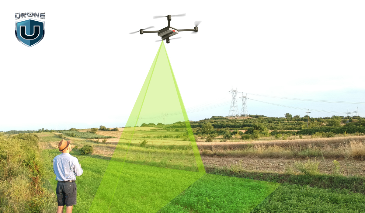
LiDAR surveying involves several key steps to capture and process the data. Here’s a step-by-step breakdown of how LiDAR surveying typically works:
Step 1: Plan Your Survey
Before you start, you’ll need to plan out your LiDAR survey. Determine the area you want to survey and the level of detail you need. Also, keep in mind any specific requirements for your project. This planning stage ensures you have the right equipment and resources to get the job done efficiently.
Step 2: Set Up Your Equipment
Once you’ve planned your survey, it’s time to set up your LiDAR system. This typically involves mounting the LiDAR sensor on a stable platform. This can include a tripod, vehicle, or aircraft, depending on the scale of your project. You’ll also need to calibrate and configure the system according to your survey requirements.
Step 3: Collect Data
Now it’s time for the fun part – data collection. A LiDAR sensor mounted on an aircraft, drone, or ground-based platform emits laser pulses. As you move the LiDAR sensor across the survey area, it emits rapid pulses of laser light. These laser pulses bounce off objects in the environment, and the LiDAR sensor precisely measures the time it takes for each pulse to return.
The system calculates the distance to each point, creating a dense point cloud of data using time-of-flight information.
Step 4: Process and Analyze Data
After collecting the data, you’ll need to process and analyze it. This typically involves combining the LiDAR point cloud with other data sources. Such as GPS and inertial measurement unit (IMU) data, to create accurate 3D models or maps of the surveyed area. You can then use specialized software to clean, filter, and classify the data, removing any noise or unwanted points.
Step 5: Visualize and Interpret Results
Once you’ve processed the data, you can visualize and interpret the results. LiDAR data can be displayed in various formats, such as 3D point clouds, digital terrain models (DTMs), or 3D meshes. You can use these visualizations to measure distances and volumes.
Additionally, you can detect changes over time, or make detailed maps and models for your project.
Step 6: Integrate and Share Data
Finally, you can integrate your LiDAR data with other geospatial technologies, such as Geographic Information Systems (GIS) or Building Information Modeling (BIM) software.
This integration lets you combine the LiDAR data with other sources.
These sources include aerial imagery and existing maps. You can use them to make complete and informative visuals. You can then share these visualizations and models to support decision-making and collaboration.
Remember, the specific steps may vary depending on the type of LiDAR system you’re using and the scale of your project. However, this general process gives you a good understanding of how LiDAR surveying works.
Now that we know how it works, let’s explore LiDAR’s advantages.
Benefits of LiDAR Surveying
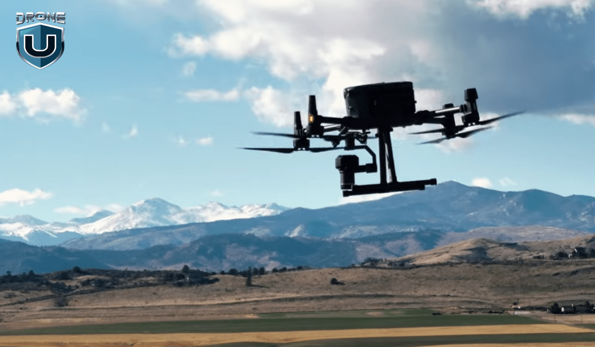
LiDAR surveying offers numerous advantages over traditional surveying methods. That makes it a preferred choice for a wide range of applications.
Some of these benefits are discussed below.
1. High Accuracy and Precision
With LiDAR systems, you can measure distances with incredible centimeter-level accuracy and precision. This level of detail is essential for projects that need highly reliable measurements, especially in construction sites, infrastructure monitoring, or archaeological surveys.
2. Rapid Data Acquisition
These systems are rapid data acquisition machines. So, you can collect millions of data points per second, allowing you to survey large areas efficiently and cost-effectively. This capability is particularly valuable when you need to cover extensive ground. Such as mapping entire urban areas or massive infrastructure projects.
3. Remote Data Collection
LiDAR gives you the power of remote data collection. Thus, eliminates the risk and increases your efficiency. You can survey areas that are difficult or dangerous to access. This includes steep terrain, dense forests, or hazardous environments.
4. Comprehensive Data Collection
When you use LiDAR, you get comprehensive data collection. These systems capture information for both the ground surface and above-ground features. Hence, gives you a complete understanding of the surveyed area. This comprehensive data is invaluable for forestry management, and environmental monitoring.
5. Integration with Other Technologies
You can seamlessly integrate LiDAR data with Geographic Information Systems (GIS) and Building Information Modeling (BIM). This integration opens up a world of advanced analysis, visualization, and decision-making capabilities for you.
Time to shine a light on the top applications of LiDAR surveying across various fields.
Applications of LiDAR Surveying
LiDAR surveying is a versatile technology with a wide range of applications across various fields. It can produce precise, 3D images of the Earth’s surface and features. This ability makes it invaluable for many uses.
1. Construction
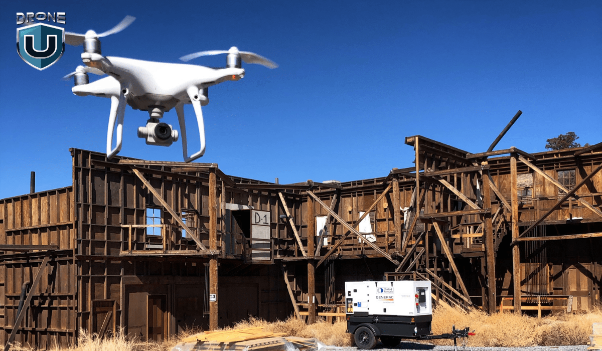
LiDAR is transforming the construction industry. It uses laser pulses to precisely calculate the amount of soil needed for earthworks, ensuring every inch is accounted for.
LiDAR data can also be combined with Building Information Modeling (BIM) systems. This creates incredibly detailed 3D models of construction sites, offering unmatched precision. Imagine having this level of control – you’ll feel like a construction mastermind!
Example: The Shanghai Tower is China’s tallest building and the world’s second tallest. Its construction used LiDAR data in Building Information Modeling (BIM) systems. This allowed for detailed modeling of the building’s complex structure. It also helped coordinate different construction disciplines.
2. Infrastructure Management
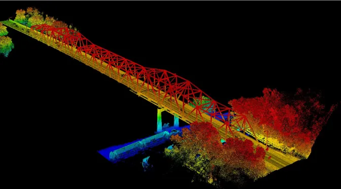 Source: Minnesota Department of Transportation
Imagine having a superpower that lets you see right through roads, bridges, and power lines. That’s what LiDAR technology offers. These advanced laser systems can map infrastructure with incredible accuracy, down to the centimeter.
This makes managing and planning maintenance a breeze. No more worrying about hidden problems or unexpected costs – LiDAR gives us a clear picture of our infrastructure’s health, allowing us to address issues proactively.
Example: The Minnesota Department of Transportation used mobile LiDAR systems to map over 14,000 miles of roadways. Thus, capturing data on signs, guardrails, and other assets with incredible precision.
3. Archaeology
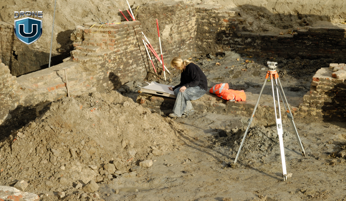
You can observe mind-blowing applications of LiDAR in the archaeological sector. This technology is like having a high-tech time machine. That uncovers ancient structures and settlements that have been hidden beneath dense vegetation.
LiDAR’s laser pulses pierce through dense tree cover, uncovering the mysteries of the past. This technology creates incredibly detailed 3D maps of historical sites, offering archaeologists a glimpse into these forgotten worlds.
Example: Archaeologists in Cambodia used LiDAR to map the sprawling medieval city of Angkor Wat. Hence, revealing urban networks and hydraulic systems lost to time.
4. Environmental Monitoring
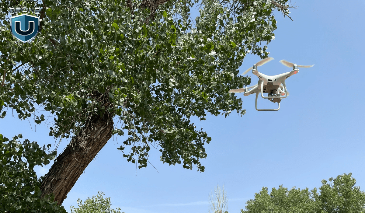
LiDAR systems are revolutionizing environmental monitoring. These systems use laser pulses to provide unparalleled insights into forests, floodplains, and coastal erosion.
LiDAR acts as a powerful ally in the fight against environmental threats, allowing us to proactively monitor and manage our precious ecosystems.
Example: The Federal Emergency Management Agency (FEMA) in the United States uses LiDAR to create more accurate floodplain maps. This technology aids in identifying areas at risk of flooding. Hence, improving emergency planning, and informing the development of infrastructure and communities.
Let’s also consider LiDAR’s limitations for a well-rounded view.
Limitations of LiDAR Surveying
While LiDAR surveying offers numerous advantages, it also has some limitations that need to be considered:
1. Line of Sight Requirement
LiDAR systems need a direct line of sight to the target surface. Dense vegetation, buildings, or other obstacles can block that line of sight. This leads to pesky data gaps or occlusions in your survey results. This can be a real challenge in areas with many obstructions, like heavily forested or urban environments.
2. Weather and Environmental Conditions
Certain weather conditions, like rain, fog, or high winds, can put a damper on your LiDAR survey. These conditions can scatter or absorb those laser pulses, reducing the accuracy and completeness of your data. So, you need to keep an eye on the forecast before scheduling your survey.
3. Initial Cost
LiDAR systems and the necessary software and hardware can be quite expensive, particularly high-end models with advanced features. This upfront cost can be a hurdle for smaller projects or organizations with limited budgets.
4. Data Processing and Storage
Processing and storing a massive amount of data requires significant computing power and storage capacity. If your organization lacks the IT infrastructure or data management expertise, this can be a significant hurdle.
5. Skilled Personnel
Skilled personnel are the key to unlocking LiDAR’s full potential. They can identify the best uses for your project and ensure data collection and analysis yield the most valuable information. Without this expertise, you might be using a powerful tool at a fraction of its capacity.
With a solid foundation, let’s set our sights on the exciting future of LiDAR surveying.
The Future of LiDAR Surveying

LiDAR surveying has a bright future ahead of it, with breakthroughs expected in several fields.
Here are five key trends that will shape the landscape of LiDAR technology:
1. Superpowered Data Fusion
Imagine LiDAR data teaming up with its fellow sensors like radar and photogrammetry. This dream team will create incredibly detailed and comprehensive datasets. To make things even better, AI and machine learning will jump in to supercharge data processing and analysis.
2. Shrinking Size, Shrinking Costs
The future holds smaller and more affordable LiDAR sensors thanks to breakthroughs in solid-state LiDAR and MEMS technology. These tiny powerhouses will open doors for more users and industries. From small drones to even personal devices, LiDAR could be everywhere!
3. Sharper Details, Wider Reach
Researchers are constantly pushing the boundaries of LiDAR resolution and range. Higher resolution means your 3D models will capture finer details, while extended range will allow you to survey vast areas or examine distant objects with incredible precision.
4. Guiding the Way for Autonomous Tech
As self-driving cars and drones become commonplace, LiDAR will play a crucial role in navigating their world and detecting obstacles. The auto industry’s demand for reliable and affordable LiDAR systems will drive innovation, leading to even more advanced LiDAR technology. These advancements could also benefit other autonomous applications in the future.
5. Real-Time Mapping on the Fly
Real-time LiDAR mapping capabilities are set to improve dramatically, allowing for immediate analysis and decision-making. This will be a game-changer for fast-paced environments and applications that require instant data, such as disaster response, military operations, and real-time environmental monitoring.
Conclusion
LiDAR surveying isn’t just a data collection method; it’s a revolution. It offers unparalleled accuracy, efficiency, and versatility. With unmatched accuracy, efficiency, and versatility, LiDAR has become an indispensable tool across a vast spectrum of industries.
The future of LiDAR surveying is brimming with potential. As the technology matures, we can expect even wider adoption and exciting integrations with cutting-edge advancements like machine learning, AI, and augmented reality.
These developments will undoubtedly unlock new applications and drive progress in fields we can only begin to imagine. LiDAR is poised to fundamentally change how we interact with and understand the world around us.
Frequently Asked Questions
1. What is LiDAR surveying used for?
LiDAR surveying has a wide range of applications in fields like construction (volume calculations, site planning), infrastructure management (bridge inspections, road repairs), archaeology (discovering buried structures, mapping ruins), environmental monitoring (forestry, floodplain analysis, coastal erosion), and even disaster response (damage assessment, search and rescue).
2. Who can perform LiDAR surveys?
LiDAR surveys are typically conducted by qualified professionals with experience in operating LiDAR equipment and processing the complex data it generates.
3. What factors should I consider when planning a LiDAR survey?
Here are some key factors to consider:
Project goals and desired deliverables: Clearly define what you want to achieve with the survey (e.g., volume calculations, 3D model creation, etc.) This will help determine the level of detail needed and the most suitable data collection method (ground-based, drone-based, etc.)
Site characteristics: The size, complexity, and accessibility of the survey area will influence the choice of LiDAR equipment and data collection strategy.
Budget and timeline: LiDAR surveying costs vary depending on project complexity. Be sure to factor in data processing costs as well. Discuss your budget and timeline with potential LiDAR service providers to ensure they can meet your needs.
4. Can LiDAR penetrate grass?
LiDAR can penetrate grass to some extent, but it depends on several factors like grass density and height, the wavelength of the LiDAR system, and moisture content.
LiDAR’s strength lies in its ability to see through gaps in vegetation and map the ground beneath. However, for very dense vegetation, alternative methods like ground-based surveying or other remote sensing techniques might be necessary.
5. What can LiDAR not detect?
LiDAR generally struggles with:
- Objects behind completely opaque surfaces
- Highly reflective surfaces
- Dense, Low-Lying Vegetation
- Transparent or Semi-Transparent Materials
- Objects moving very quickly within the scan area


Add Your Comment